
A stationary front will remain to our south today through the weekend. Several waves of low pressure will move along the front, bringing rain chances through the period.
TODAY: A weak area of low pressure will move along the stationary front to our south, moving by later today and tonight. This will spread isolated to scattered showers and possibly thunderstorms into our area later today and tonight. Highs will be in the low 80s.
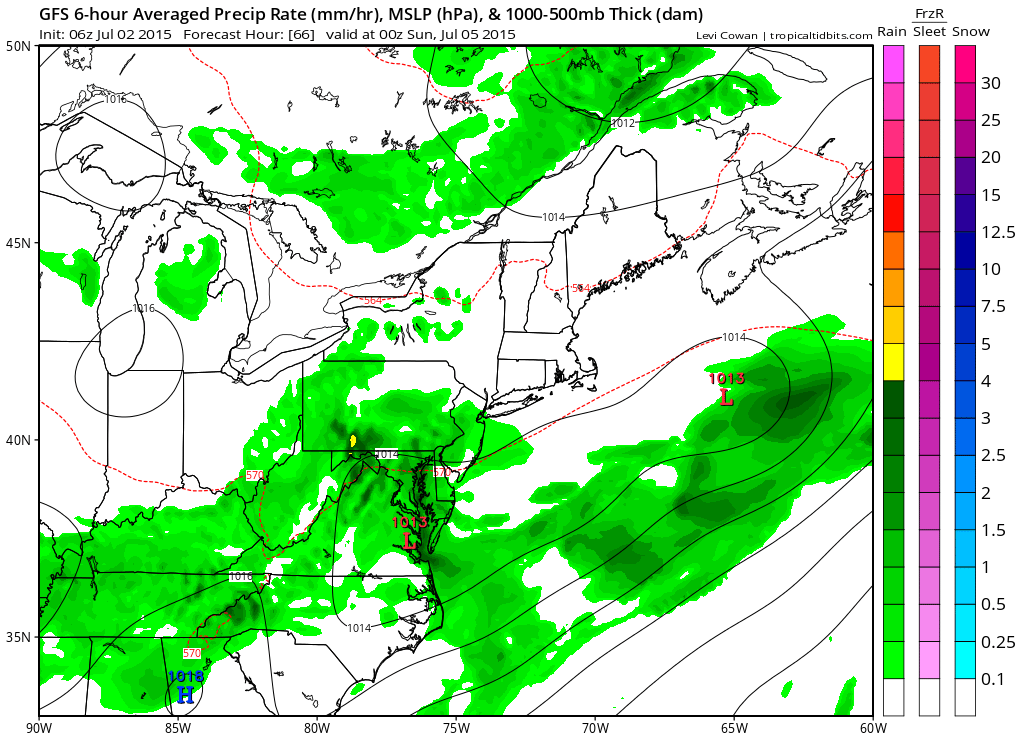
4TH OF JULY: Isolated morning showers will become more prevalent during the afternoon and evening. Unfortunately for 4th of July activities, showers appear likely during the evening and into the overnight. Highs will be in the low 80s.
SUNDAY: The stationary front will move a bit further south, decreasing rain chances but isolated afternoon and evening thunderstorms are still possible. Highs will be in the low 80s.
OUTLOOK: Monday and Tuesday look mostly dry before another cold front approaches towards midweek, setting up more active weather to end the week. Highs will be in the mid to upper 80s.
Stay up to date with storm information on your favorite social media site!
Follow me on Twitter, Facebook and Google+!