
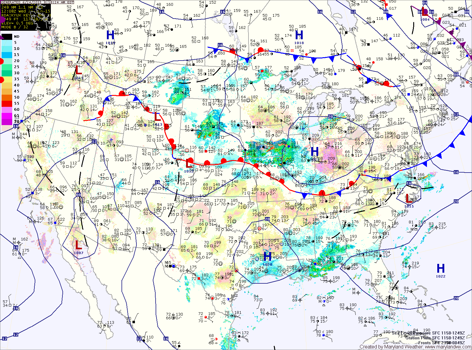
TODAY: Behind yesterday’s cold front and severe storms, high pressure is building in with cooler and less humid air. Expect mostly sunny skies today with highs in the mid 80s.
THURSDAY: Southerly flow will increase ahead of an area of low pressure that is moving in from the west. Expect increasing clouds and a slight chance of showers in the late afternoon and evening hours. Highs will be in the mid to upper 80s.
Rain chances will increase tomorrow night as the low pressure system moves through.
FRIDAY: One area of low pressure will be moving away as another moves closer. As a result, scattered showers and thunderstorms will be possible through the day. Highs will be in the low 80s.
SATURDAY: Another system will move into the area by early Saturday. Showers and storms will be likely through the day, with possibly heavy rainfall. Highs will be in the low to mid 70s.
Rainfall will continue, possibly heavy into Saturday night before tapering off by Sunday morning.
SUNDAY: Any leftover showers will depart during the morning hours with clearing expected during the afternoon. Highs will remain cool, topping out in the low to mid 70s.
OUTLOOK: We dry out to start the week, with partly sunny skies on Monday before a cold front approaches with showers and storms possible Tuesday. Highs will be in the low 80s.
Stay up to date with storm information on your favorite social media site!
Follow me on Twitter, Facebook and Google+!