
A cold front is moving towards the area from the west today and will be in the area tomorrow. High pressure returns Wednesday through Friday, pumping in hot and humid air.
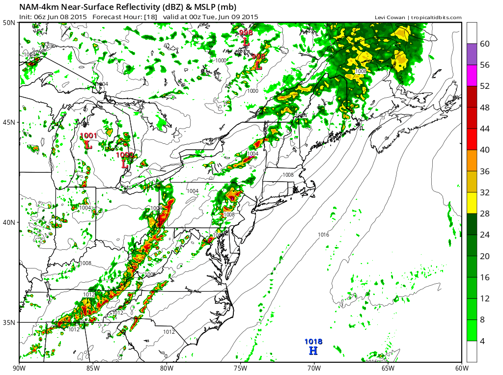
TUESDAY: The front will remain in the area, slowly pushing south and eastward. There is a slight chance of an isolated shower or thunderstorm into the afternoon as the front clears the area. Highs will be in the mid 80s.
WEDNESDAY: High pressure builds in with plenty of sunshine and highs in the upper 80s.
THURSDAY: The high will slide off of the coast and set up as a “Bermuda High.” This will pump hot and humid air into the region. Highs will be near 90° under mostly sunny skies.
FRIDAY: Expect another hot and humid day, with mostly sunny skies and highs around 90°.
WEEKEND OUTLOOK: The heat and humidity will remain in place, with highs remaining near 90° both Saturday and Sunday. There is a slight chance of an afternoon shower or thunderstorm on Saturday under otherwise mostly sunny skies.
Stay up to date with storm information on your favorite social media site!
Follow me on Twitter, Facebook and Google+!