
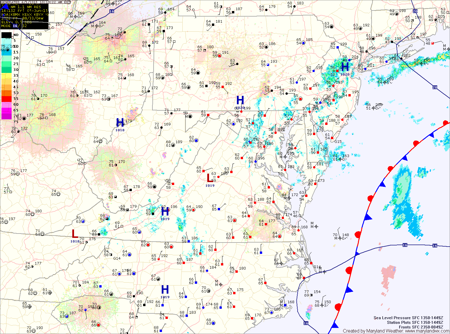
TODAY: We will remain under the influence of low pressure to the south today, keeping clouds in the area. Highs will be around 70°.
SATURDAY: A cold front will approach from the west, possibly triggering a few afternoon showers and thunderstorms. Highs will be around 80°.
SUNDAY: Expect mostly sunny skies, with highs in the upper 70s.
MONDAY: Another cold front will approach from the west leading to more showers and thunderstorms. Highs will be in the low to mid 80s.
OUTLOOK: High pressure builds in briefly behind the front, leading to pleasant conditions through mid week before another front moves in Thursday.
Stay up to date with storm information on your favorite social media site!
Follow me on Twitter, Facebook and Google+!