
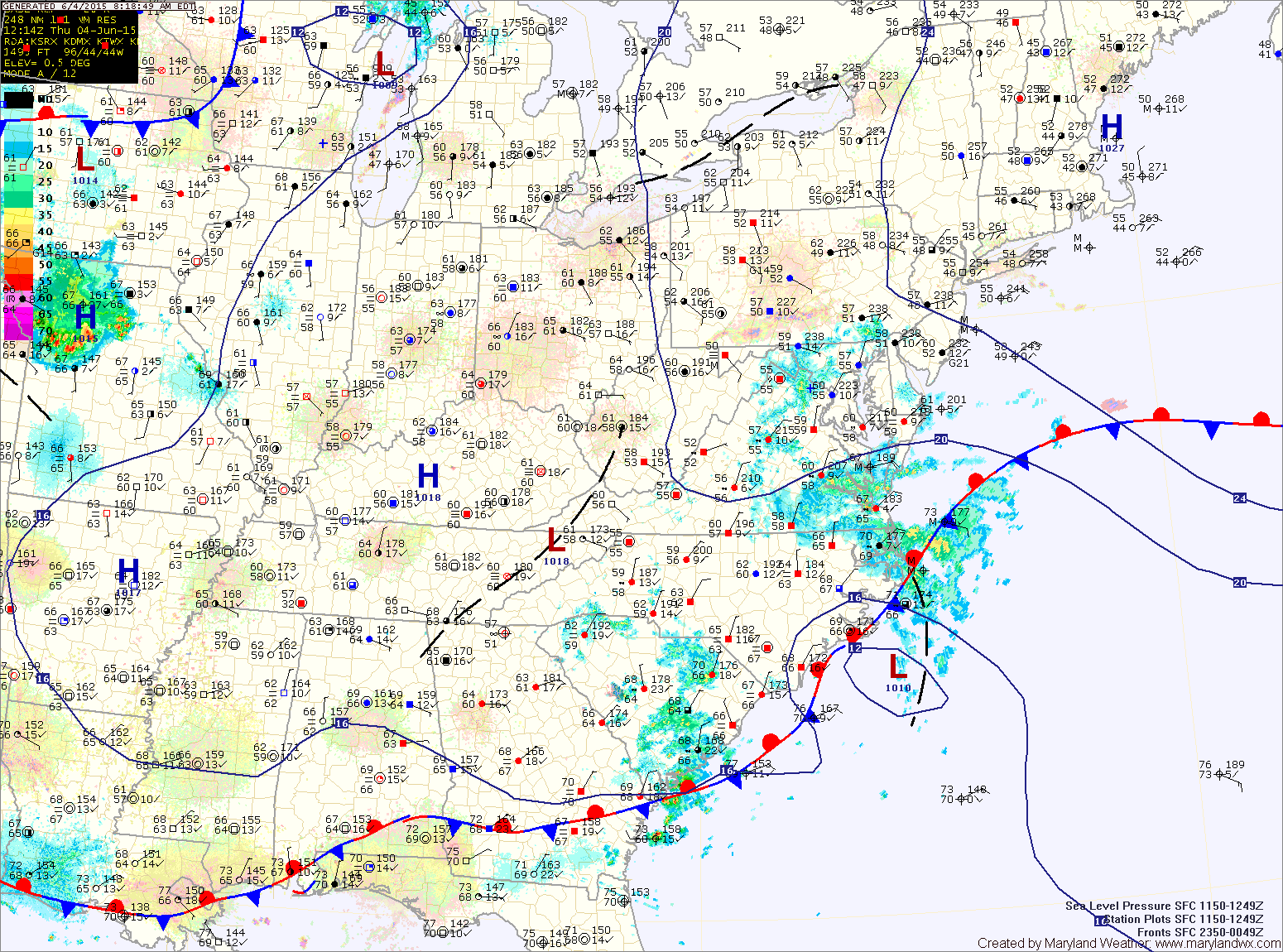
TODAY: Much like yesterday, expect cloudy skies, cool temperatures and areas of light rain and drizzle. Highs will be in the low to mid 60s.
FRIDAY: Continued generally cloudy, with scattered showers and possibly a thunderstorm. Highs will be in the low to mid 70s.
SATURDAY: The cold front will push through early in the day with a mix of clouds and sun behind it. There is a slight chance of afternoon showers with highs near 80°.
SUNDAY: Drier air pushes in, leading to a mix of clouds and sun. Highs will be in the upper 70s.
OUTLOOK: Another cold front will approach on Monday, leading to increased chances of showers and thunderstorms into Tuesday before high pressure moves back in.
Stay up to date with storm information on your favorite social media site!
Follow me on Twitter, Facebook and Google+!