
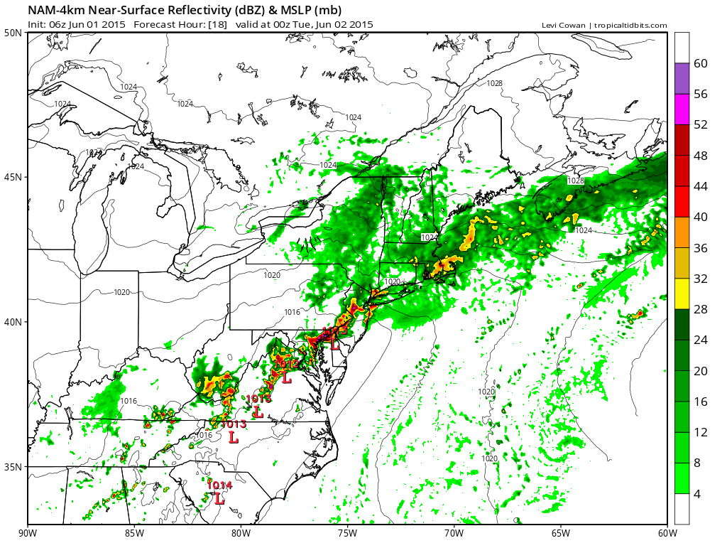
**A FLASH FLOOD WATCH has been issued for: Anne Arundel, Baltimore, Baltimore City, Carroll, Cecil, Frederick, Harford, Howard, Montgomery and Prince George’s counties.**
A cold front is moving into the area today and will stall out near the state through Thursday. Periods of showers and thunderstorms with heavy rainfall are likely.
TUESDAY: The front stalls out just to our south, keeping a chance of showers and thunderstorms in our area. The rainfall will not be as widespread as today, but isolated to scattered storms will still affect our state, especially across the southern and eastern portions. It will be cooler, with highs only in the low 70s.
WEDNESDAY: The front will remain to our south, but rain chances will continue to diminish and will be confined mostly to southern Maryland with just a few showers elsewhere. It will remain mostly cloudy with highs in the low 70s.
THURSDAY: Scattered showers will be possible through the day and into the night. Highs will be in the mid 70s.
FRIDAY: Mostly cloudy, with a chance of afternoon showers. Highs will be in the upper 70s to low 80s.
WEEKEND OUTLOOK: More clouds than sun, with scattered showers and possibly a thunderstorm. Highs will be in the low 80s both days.
Stay up to date with storm information on your favorite social media site!
Follow me on Twitter, Facebook and Google+!