
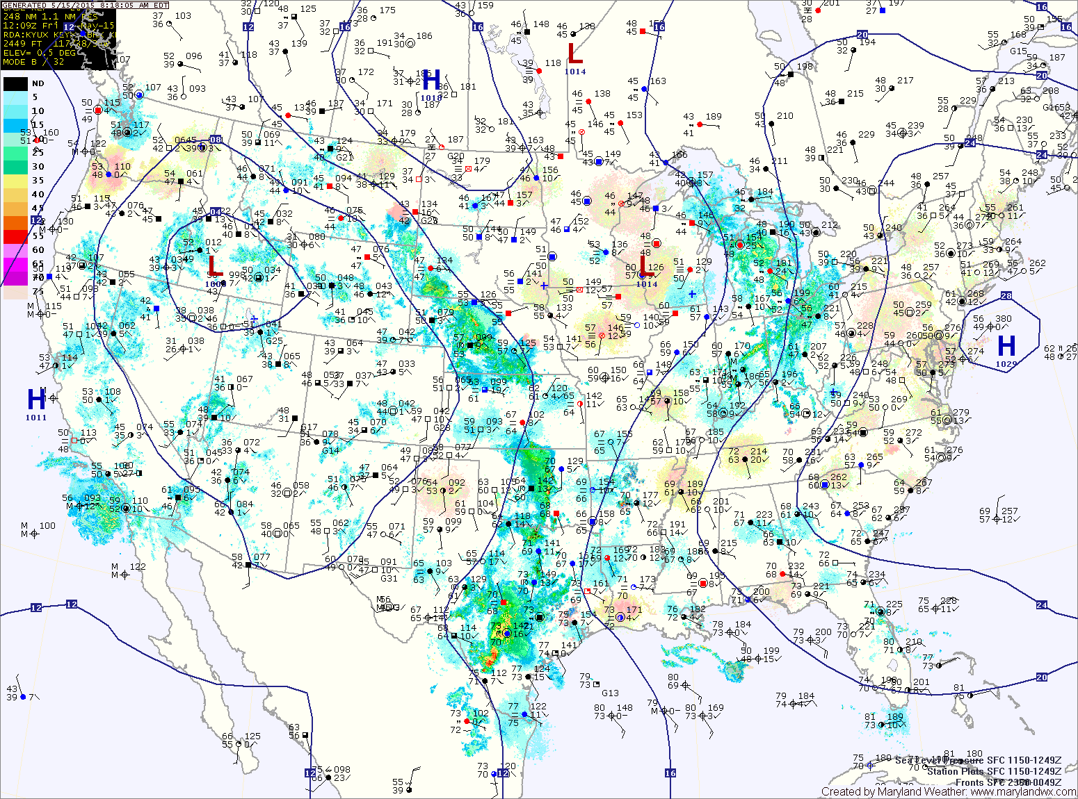
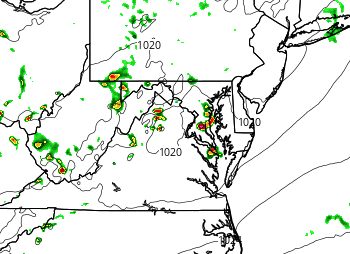
TODAY: It will be warmer than the past few days as southerly flow increases. Dew points will increase as well resulting in more clouds as well. There is a chance of showers and thunderstorms mainly across the mountains this afternoon and evening. Highs will be in the low to mid 70s.
Shower chances will increase state-wide tonight and could continue into tomorrow morning.
It will be warm and humid with highs in the low to mid 80s under otherwise partly sunny skies.
SUNDAY: Just like Saturday, it will be warm and humid with scattered showers and thunderstorms. Highs will be in the mid 80s.
MONDAY: It will remain warm and humid. Showers and storms will again be likely across the state. Highs will be in around 80°.
OUTLOOK: A cold front will affect the area late Monday into Tuesday with more showers and storms. Behind the front, cooler and drier air will move in for the latter half of the week.
Stay up to date with storm information on your favorite social media site!
Follow me on Twitter, Facebook and Google+!