
High pressure will begin to build in tonight, ending the rain chances.
THURSDAY: High pressure continues to build into the area, leading to mostly sunny skies and highs in the mid to upper 70s.
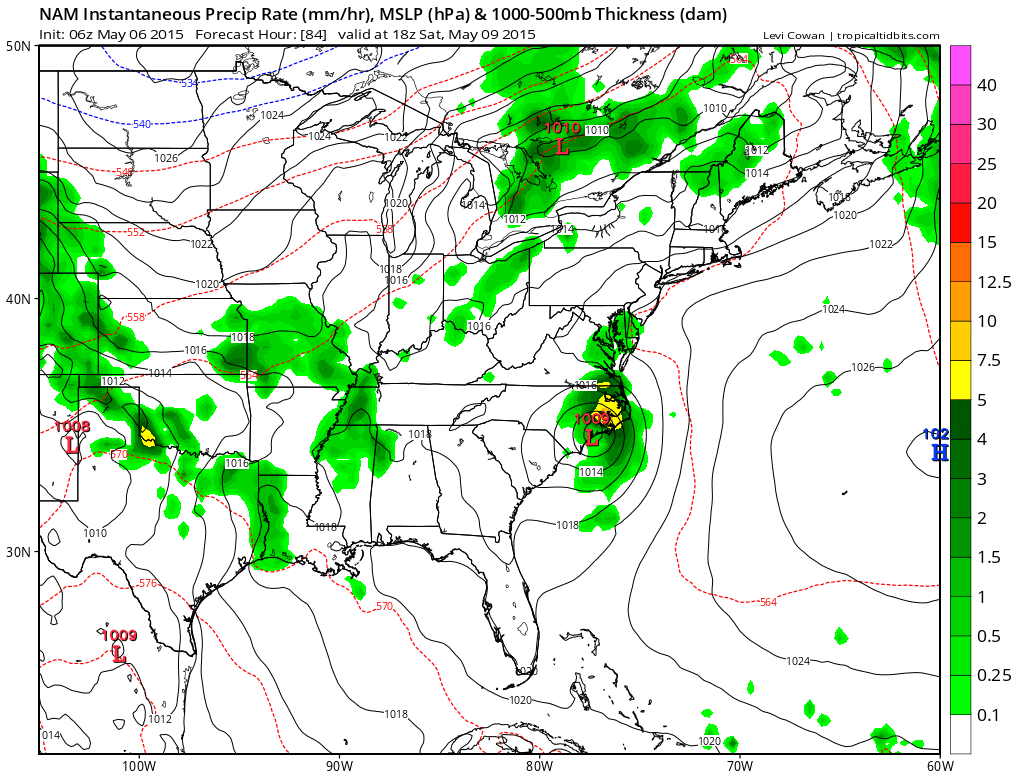
SATURDAY: Moisture from a decaying area of low pressure to our south will be advected into our area. This moisture will combine with warm temperatures to produce isolated to scattered afternoon and evening thunderstorms. Highs will be in the low 80s.
SUNDAY: Much like Saturday, it will be warm and humid with scattered afternoon and evening thunderstorms. Highs will be in the low 80s.
OUTLOOK: A cold front will approach early next week, increasing rain and thunderstorm chances Monday and Tuesday.
Stay up to date with storm information on your favorite social media site!
Follow me on Twitter, Facebook and Google+!