
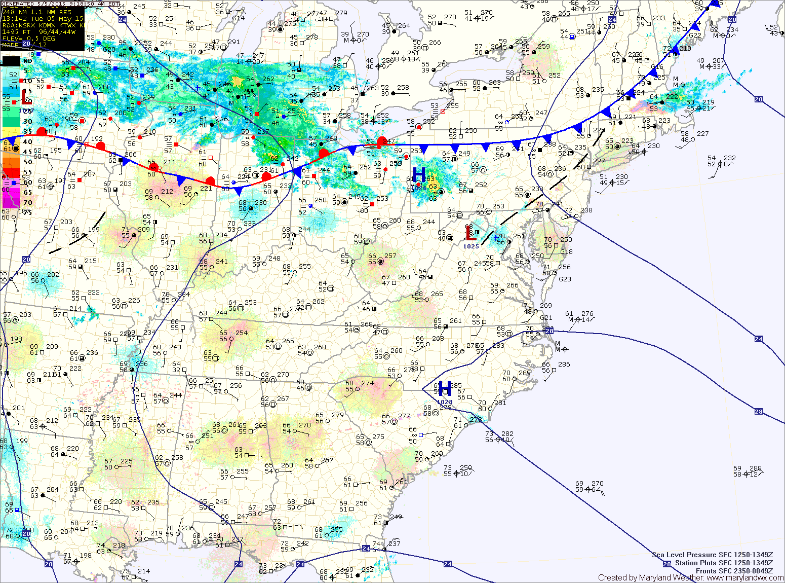
TODAY: A cold front is moving towards the area from the northwest. The front will move into the area this afternoon, bringing showers and possibly a thunderstorm into this evening. Highs will be in the low 80s. Rain and thunder chances will diminish overnight.
WEDNESDAY: Scattered showers and possibly a thunderstorm will develop again tomorrow as the front remains in the area. The best chance for rain will once again be during the afternoon and evening hours. Highs will be in the mid to upper 70s. The front will move south of the area tomorrow night, ending the rain chances.
THURSDAY: High pressure builds in, leading to clearing skies and highs in the mid to upper 70s.
FRIDAY: Mostly sunny and warm, with highs around 80°.
OUTLOOK: Instability will increase during the weekend, leading to a slight chance of an afternoon shower on Saturday. Rain chances increase a bit Sunday into Monday as a front approaches from the west. Highs will remain in the low 80s through this period.
Stay up to date with storm information on your favorite social media site!
Follow me on Twitter, Facebook and Google+!