
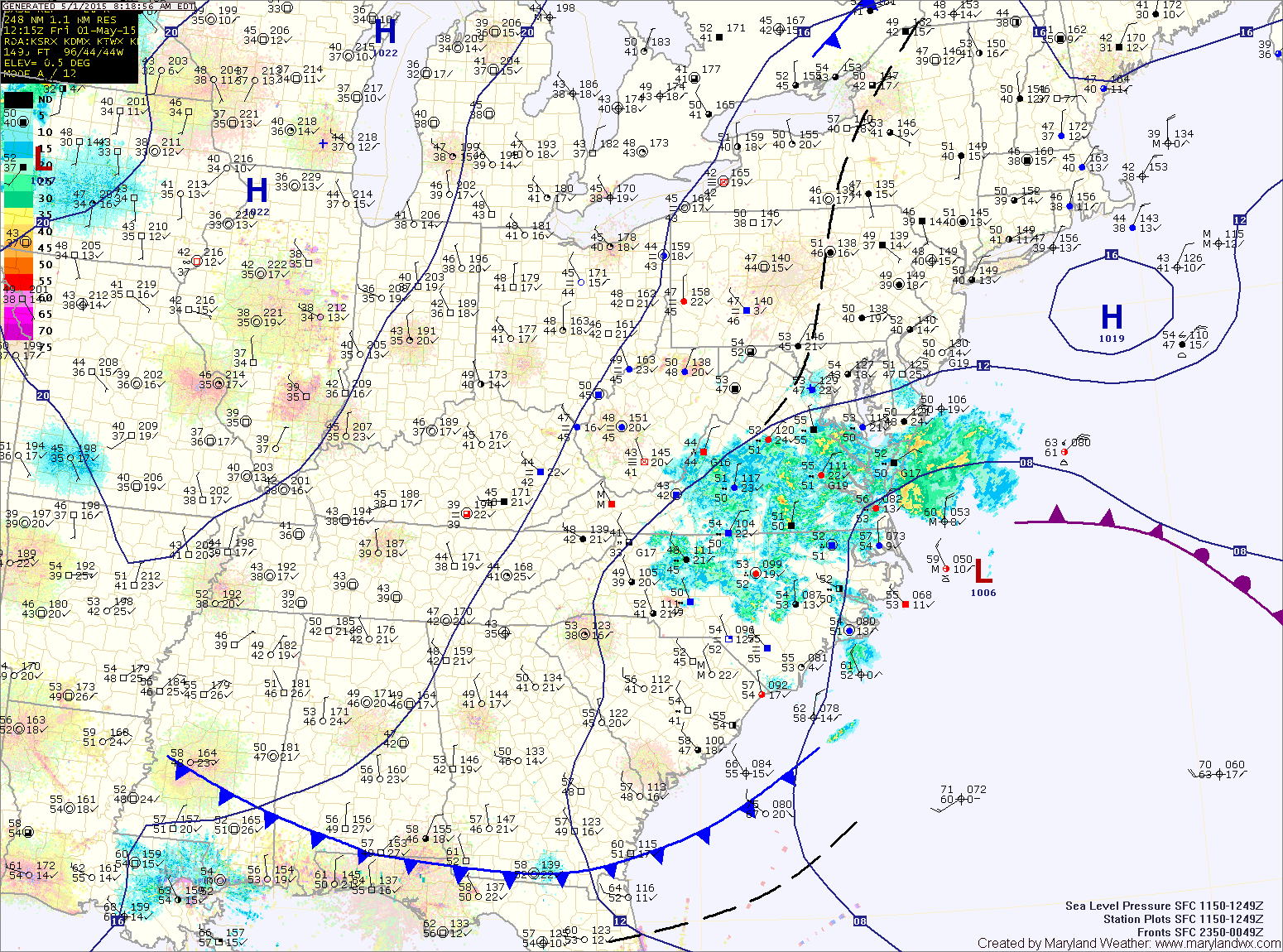
TODAY: Low pressure will continue to move off of the Carolina coastline today, pulling the shower activity away from our area. Expect a mix of clouds and sun, with highs in the low to mid 60s.
SATURDAY: Another day of clouds and sun with a slight chance of an afternoon shower. Highs will be around 70°.
SUNDAY: With high pressure in control, expect mostly sunny skies and highs in the upper 70s.
MONDAY: Mostly sunny with highs around 80°.
TUESDAY: A cold front will approach from the north and may produce a few showers and thunderstorms during the afternoon and evening hours. Otherwise, it will be mostly sunny and warm with highs topping out in the low to mid 80s.
OUTLOOK: The front will likely stall out over the region, leading to unsettled weather to end the week.
Stay up to date with storm information on your favorite social media site!
Follow me on Twitter, Facebook and Google+!