
TODAY: Today will be mostly sunny and breezy with highs in the upper 60s to near 70°. West winds will gust to near 25mph.
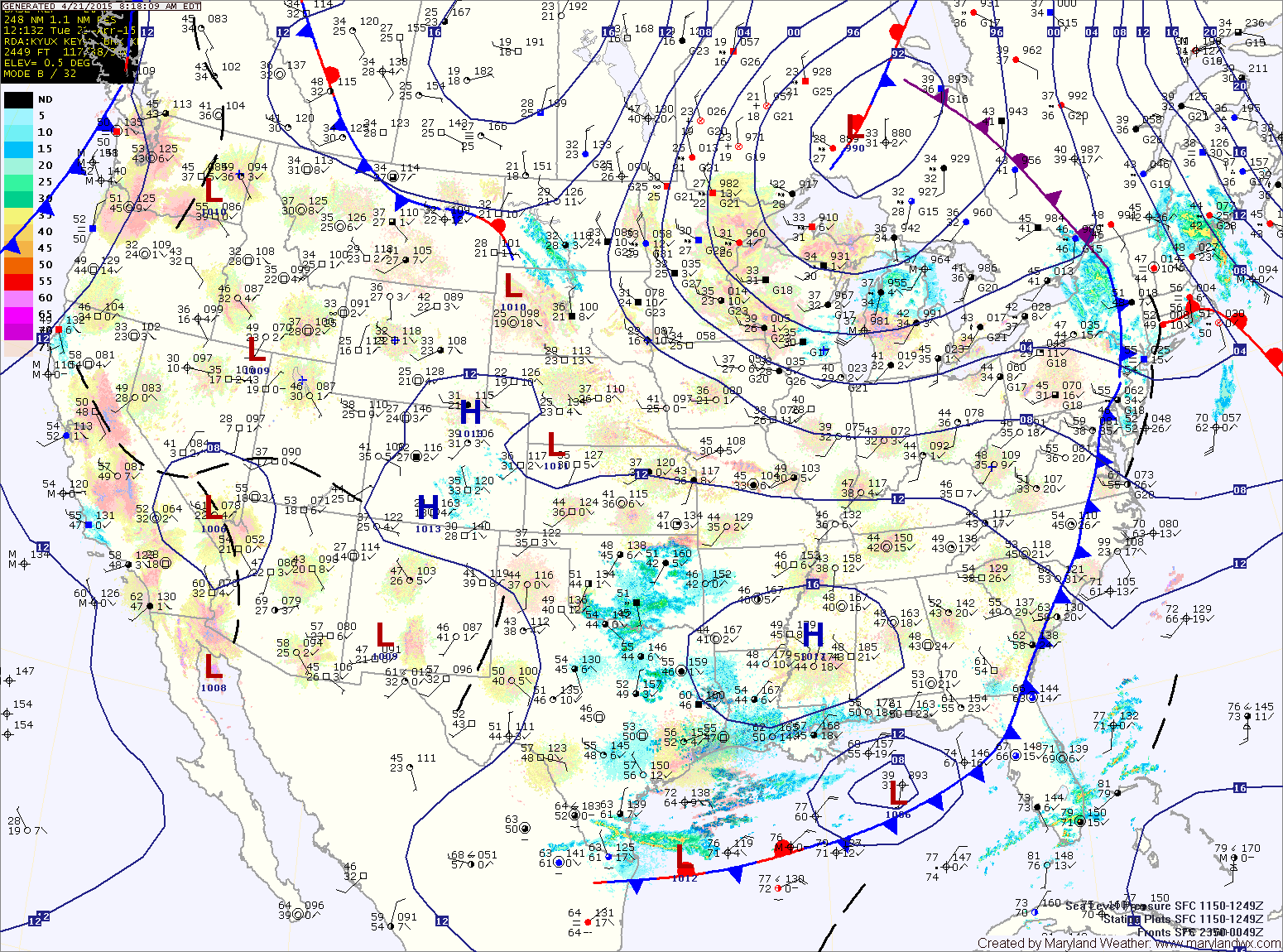
WEDNESDAY: Another cold front will approach tomorrow. The front will spread showers and perhaps a thunderstorm into the area by the afternoon and evening hours. 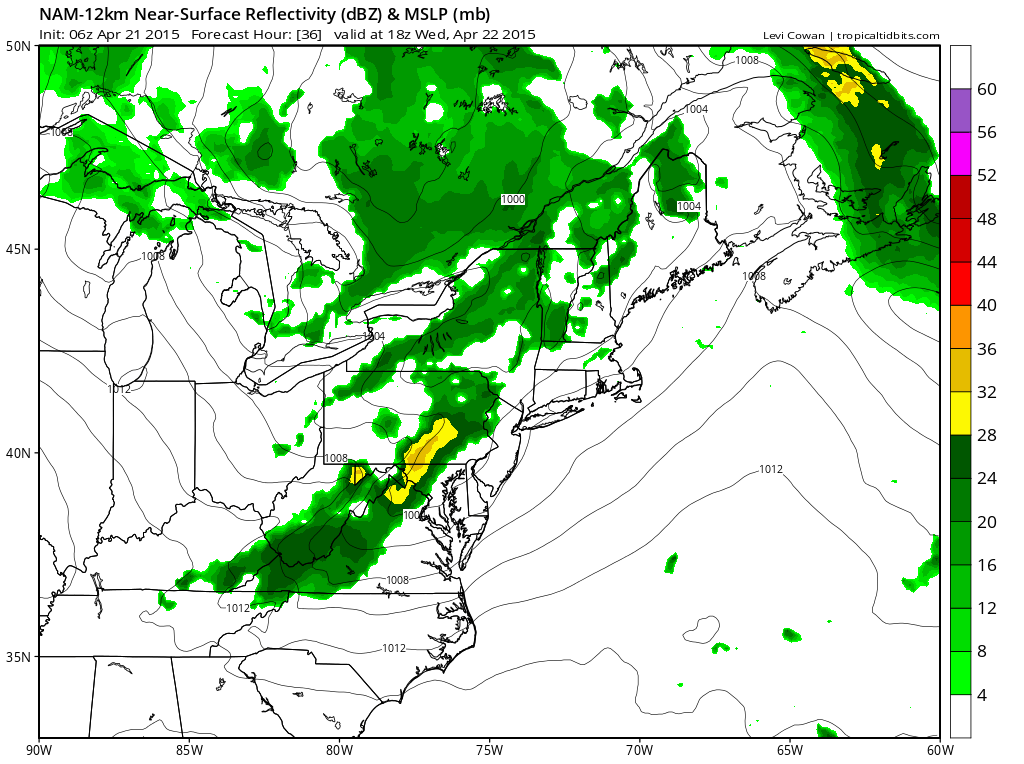
THURSDAY: High pressure builds in during the day, bringing cooler air with it. Highs will likely top out in the upper 50s under mostly sunny skies. Low temperatures Thursday night will once again fall into the upper 30s to low 40s.
FRIDAY: We will remain under the influence of high pressure Friday, with mostly sunny skies expected. Temperatures will remain below average with highs in the upper 50s to around 60°.
WEEKEND OUTLOOK: An area of low pressure will scoot by to our south on Saturday. It will be close enough to spread clouds over the state during the day, with perhaps some light showers reaching southern Maryland. The low will move out Saturday night, allowing sunshine to return on Sunday. Highs will be around 60° both days.
Stay up to date with storm information on your favorite social media site!
Follow me on Twitter, Facebook and Google+!