
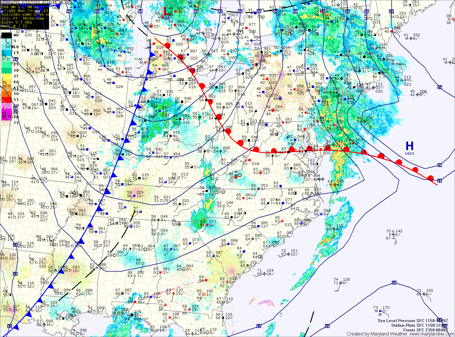
TODAY: A warm front is draped just to our south and will be pushed northward over the next few hours. As a result, temperatures will warm into the mid to upper 70s this afternoon as a cold front approaches from the west.
TUESDAY: The area of low pressure will be off to our northeast by tomorrow morning, resulting in northwest flow in our area. It will be mostly sunny and breezy, with highs in the mid to upper 60s.
WEDNESDAY: A weak cold front will push through late in the day. Ahead of the front, showers and possibly thunderstorms will move through, mainly during the afternoon and evening hours. Highs will be in the mid 60s.
THURSDAY: Cool high pressure builds in during the day. Highs will likely remain below 60° despite mostly sunny skies. Thursday night will see temperatures drop to around 40°.
FRIDAY: Cool high pressure remains in control of the weather, resulting in mostly sunny skies and highs in the upper 50s.
WEEKEND OUTLOOK: An area of low pressure will pass by to our south, spreading clouds and possibly showers into our area Saturday. The low moves out by Saturday night and sunshine returns on Sunday. Highs both days will be in the low to mid 60s.
Stay up to date with storm information on your favorite social media site!
Follow me on Twitter, Facebook and Google+!