
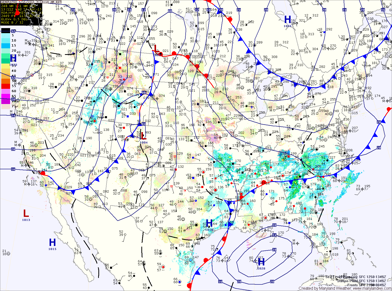
High pressure is building into the region today and will persist tomorrow before several systems affect us Friday and Saturday.
THURSDAY: High pressure moves off of the New England coast allowing a easterly flow to develop over our area. Temperatures may be a few degrees cooler than today but we should remain dry through most of the day as a weak system approaches from the west. Clouds will increase during the evening and showers will be possible during the evening and into the overnight. Highs will be in the mid 60s.
SATURDAY: High pressure builds back in behind the system on Friday leading to drier conditions and temperatures in the low 70s.
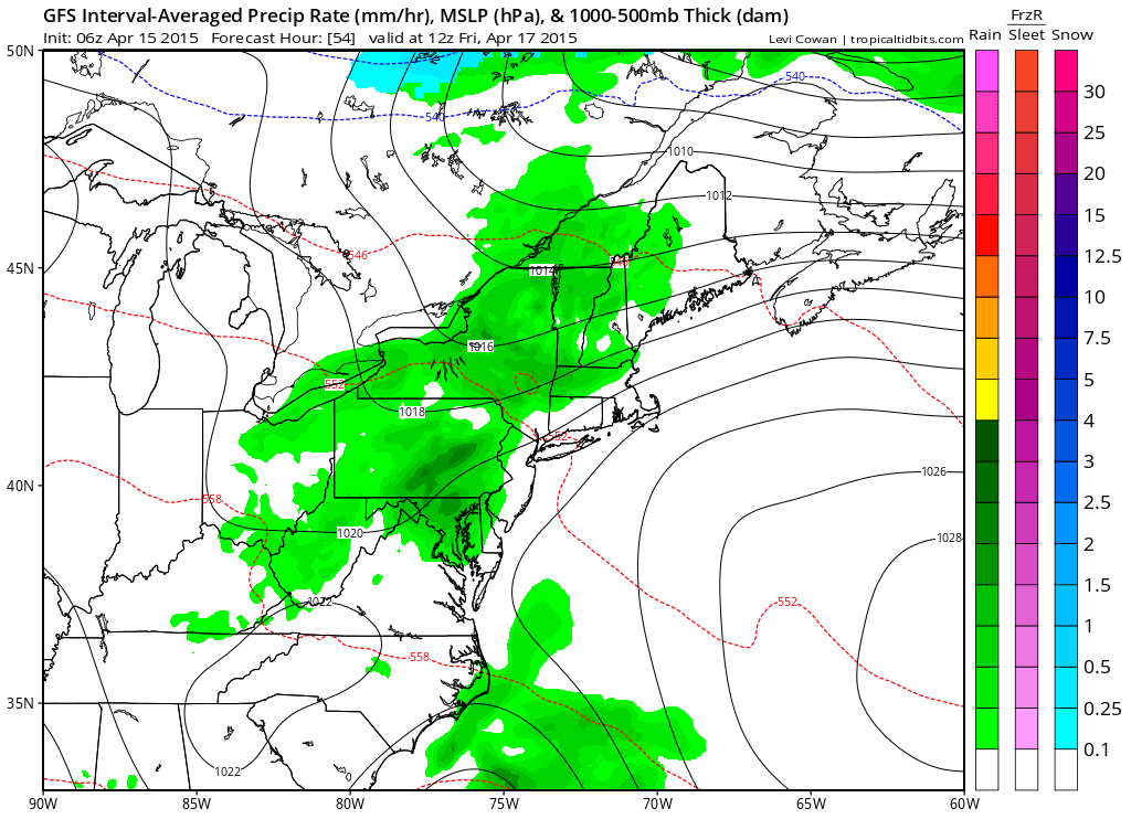
SUNDAY: Sunday will start out with sunshine but clouds will increase through the day as a cold front approaches from the west. The front will likely spread rainfall into the area by Sunday evening, lasting through most of Monday. Highs will be in the mid to upper 60s.
Stay up to date with storm information on your favorite social media site!
Follow me on Twitter, Facebook and Google+!