
Today will be mostly sunny and warm, with highs in the low 70s. Southwest winds will increase this afternoon, gusting to near 25mph.
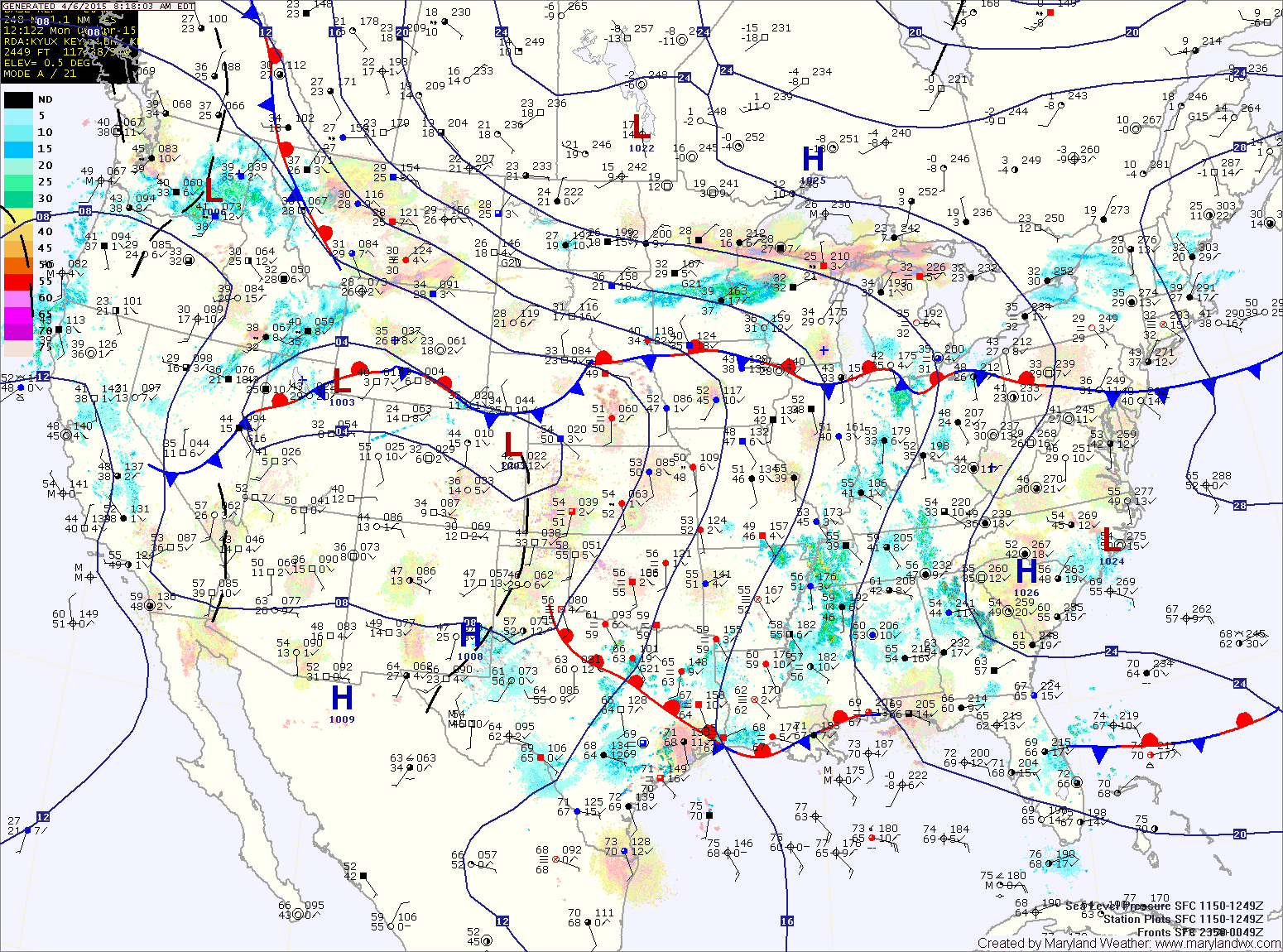
The stationary front will move into our area tomorrow and several disturbances will ride along it, bringing rain and possibly afternoon thunderstorms to the state. Scattered showers will develop tomorrow morning and become more prevalent as we move through the day. Isolated thunderstorms will be possible during the late afternoon and evening hours as the front pushes south. Despite the rain and cloud cover, highs tomorrow will be around 70°.
The front will remain in our vicinity Tuesday night into Wednesday. Rain chances will taper off north of the boundary while showers and thunderstorms will remain likely south of it. At this time, it appears the front will push south of our area, and into Virginia, keeping most of the showers to our south, but cool and damp conditions with isolated showers will be possible across the state through the day.
(tropicaltidbits.com)
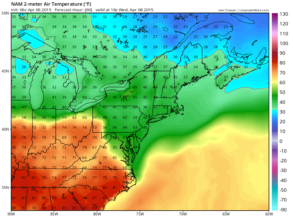
We remain in the cooler marine air Wednesday night and Thursday with areas of drizzle and light showers likely. Highs on Thursday will be in the upper 40s to near 50°.
The front will then move back northward as a warm front Thursday night into Friday as an area of low pressure and a cold front approach from the west. Friday will start out cool and moist and as the warm front pushes through, will turn much warmer with scattered showers and thunderstorms likely through the afternoon hours as the cold front approaches. Highs will be around 70°.
The cold front will push through Friday night, bringing an end to the rain chances and high pressure builds in for the weekend.
Stay up to date with storm information on your favorite social media site!
Follow me on Twitter, Facebook and Google+!