
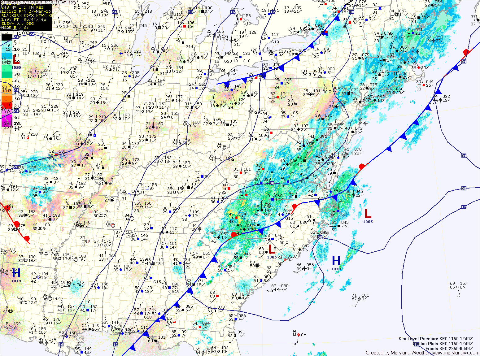
Showers will be likely through this morning and into this afternoon, mainly along and east of I-95, before tapering off as the front and low pressure move away. Highs will be in the upper 40s to around 50°.
Colder air will move in tonight and tomorrow on strong northwest winds. At the same time, an upper level disturbance will push through, touching off scattered snow showers late tonight through tomorrow afternoon. Temps will fall into the upper 20s to low 30s tonight, and only reach the low 40s tomorrow.
Expect another cold night tomorrow night, with lows falling into the low to mid 20s but temperatures will begin to climb on Sunday under sunny skies. Highs should reach the upper 40s.
Clouds will increase Sunday night and Monday as a weak front slides through with a slight chance of a shower. Highs on Monday will be in the mid to upper 50s.
High pressure will build back in briefly on Tuesday. Expect mostly sunny skies and highs in the mid 50s.
Wednesday will be similar to Tuesday, but perhaps a few degrees warmer with afternoon highs approaching 60°.
Another storm system will likely drag a cold front through our area Thursday or Friday, increasing rain chances to end the work week.
Stay up to date with storm information on your favorite social media site!
Follow me on Twitter, Facebook and Google+!