
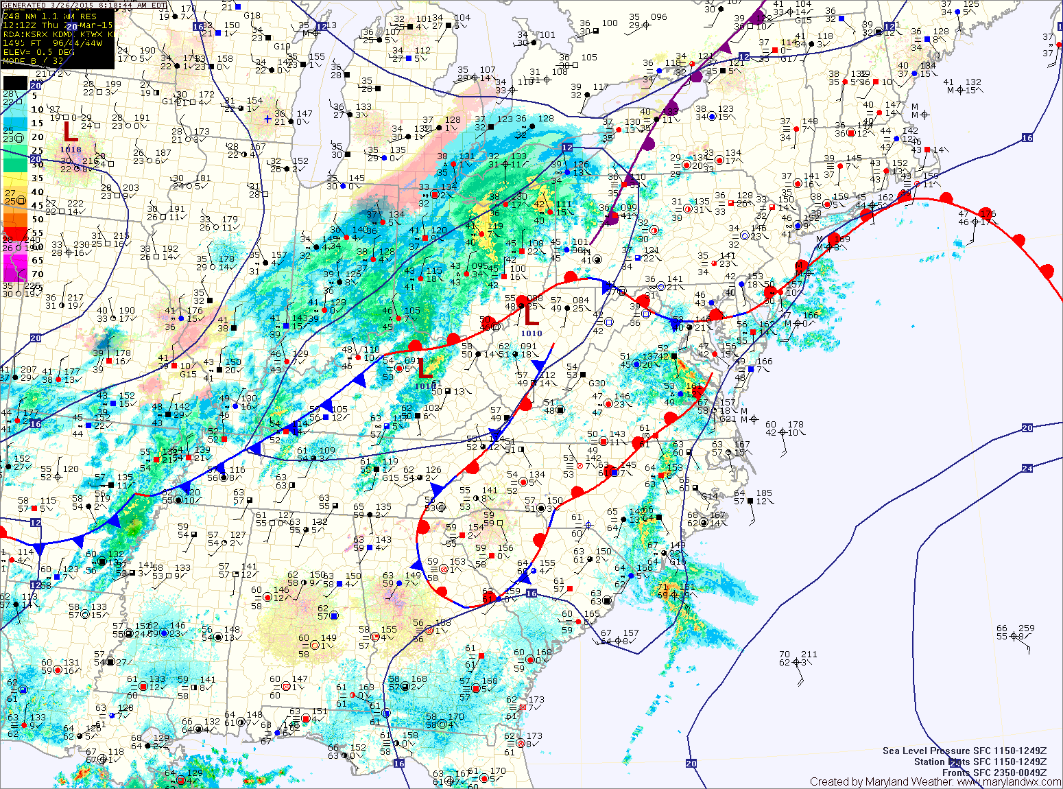
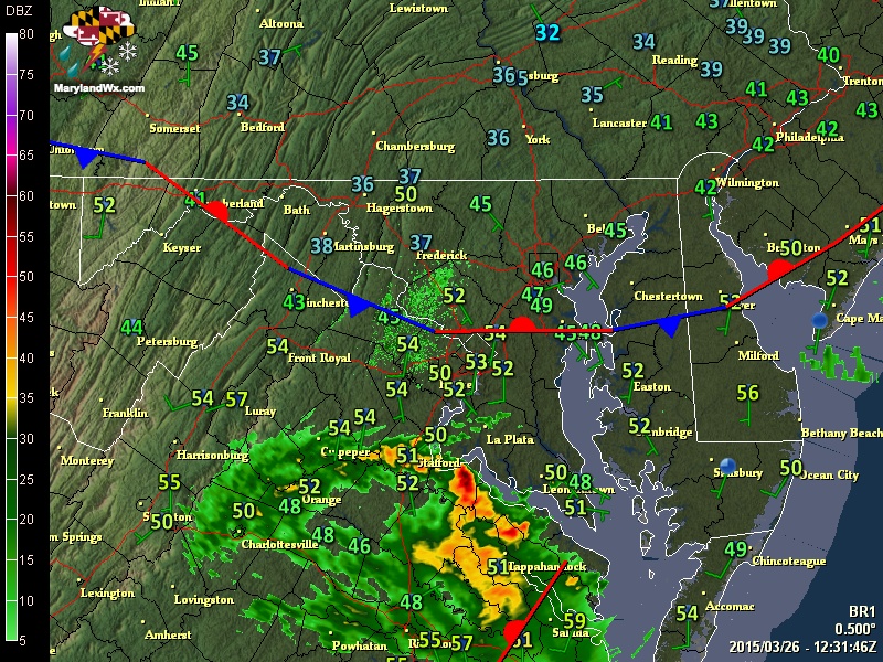
The warm front will push through the state this morning followed by showers and possibly thunderstorms this morning. Scattered showers will continue into the afternoon hours as temperatures warm to around 70°. It will also turn windy, with southwest winds gusting to near 25 mph.
There will be another chance of thunderstorms this evening as the strong cold front pushes in from the west.
Highs tomorrow will likely be 20° colder than today, topping out around 50°. It will feel even colder as northwest winds gust to 25 mph.
Saturday will be breezy and even colder, with highs in the low 40s. There is also a chance of snow showers as an upper level disturbance pushes through.
High pressure will build in on Sunday, bringing a return of sunshine and slightly warmer air. Highs will approach 50°.
Another cold front will likely affect the area Monday night or Tuesday. Highs will be in the 50s both days.
Expect a warming trend after that, with temperatures back up into the 60s for the latter half of the week.
Stay up to date with storm information on your favorite social media site!
Follow me on Twitter, Facebook and Google+!