
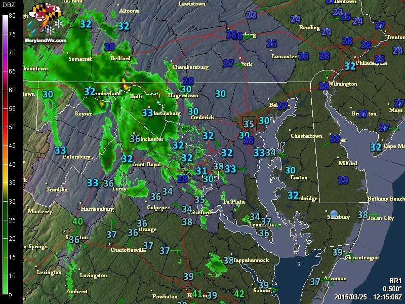
At the same time, an area of light rain is moving in from the southwest along a warm front, setting the stage for some light freezing rain this morning.
The National Weather Service has issued a Freezing Rain Advisory for all counties west of the bay, except Garrett. The Advisory is in effect until noon.
This will not be a major concern, but isolated slick spots will be possible as the rain falls into the below freezing air.
After that batch of rain moves through, we will remain cloudy through the day with isolated sprinkles possible as warmer air continues to push in. Highs will top out in the upper 40s to low 50s this afternoon.
Light showers will remain possible during the overnight and into tomorrow morning.
A cold front will approach tomorrow and southerly flow out ahead of it will allow temperatures to climb into the upper 60s and low 70s by tomorrow afternoon. Isolated showers and even thunderstorms are possible during the afternoon hours.
The front will push through late tomorrow into Friday, accompanied with showers and possibly more thunderstorms.
Colder air will follow the front on Friday, with highs topping out in the mid 50s.
High pressure will build in this weekend. Highs on Saturday will be in the low 40s, warming to the upper 40s Sunday under mostly sunny skies.
Stay up to date with storm information on your favorite social media site!
Follow me on Twitter, Facebook and Google+!