
We started today below freezing in many spots but we will warm up this afternoon with highs in the low 60s.
We will likely push into the mid 60s tomorrow before a cold front swings through tomorrow with a few afternoon showers. Expect temperatures to drop back into the 20s tomorrow night.
Wednesday will be windy and colder, with highs only reaching the mid 40s.
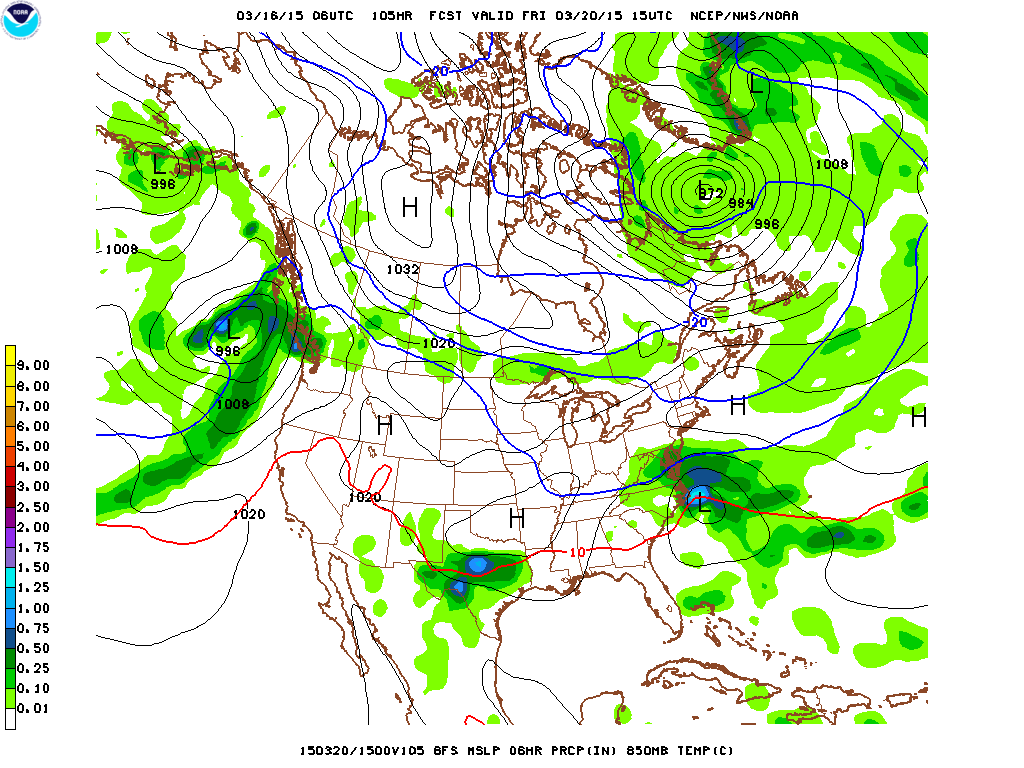
At this time, it looks like precipitation will start early Friday morning as snow or a wintry mix before changing to light rain late Friday morning. The light rain will likely last into Friday evening before tapering off and ending.
Highs on Friday will be in the upper 40s. It will be the first day of astronomical spring, but it certainly won’t feel like it.
High pressure will return for the weekend, with highs generally in the 50s both Saturday and Sunday.
Stay up to date with storm information on your favorite social media site!
Follow me on Twitter, Facebook and Google+!