
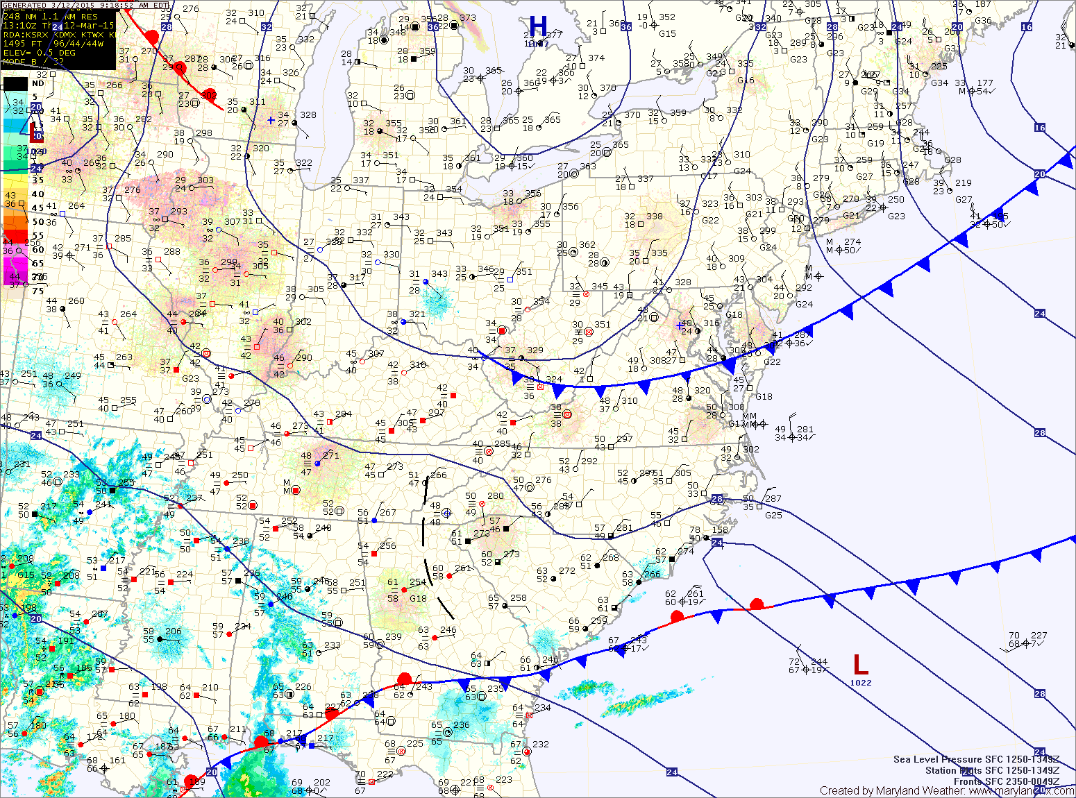
The high will get displaced tomorrow as an area of low pressure approaches from the southwest. The low will spread rain into the area during the afternoon hours. The rain will initially be light, but by tomorrow evening, more moderate rain is likely. Highs will be around 50°.
The rain will continue tomorrow night and into Saturday, tapering off to showers during the afternoon hours. Light showers are likely into Saturday evening before ending Saturday night. Warm moist air will also be pulled in, with highs around 60°.
The system pulls away late Saturday night into Sunday and slightly cooler but drier air will flow in on breezy northwest winds. Highs on Sunday will be in the low 50s under clearing skies.
The first half of next week looks pleasant, with highs in the upper 50s to around 60° Monday and Tuesday.
A cold front will likely pass through late Tuesday with colder air moving in to end the week with highs on Thursday and Friday back into the 40s.
Stay up to date with storm information on your favorite social media site!
Follow me on Twitter, Facebook and Google+!