
A weak cold front is passing through the state at this time, touching off light snow showers and flurries as it passes through. The front will move through this morning and high pressure will build in. Highs will be around 30.
With mostly clear skies tonight and a fresh source of cold air, expect lows to fall into the single digits to low 10s by tomorrow morning.
Tomorrow will be sunny but cold, with highs topping out in the mid 20s.
Another cold night is on tap tomorrow night with lows falling into the low to mid 10s.
Precipitation will start as snow then change to a wintry mix during the late afternoon and evening hours. The wintry mix will likely last into the overnight before slowly changing over to light rain by early Monday morning although some areas along the Mason-Dixon line may not change over at all before it all ends during the morning hours Monday.
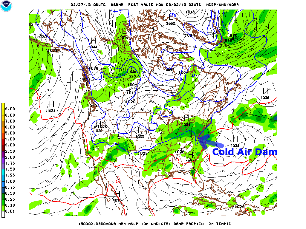
We will be between systems on Monday with another system likely to affect the state on Tuesday with perhaps another round of icy conditions possible Tuesday evening into Wednesday.
Stay up to date with storm information on your favorite social media site!
Follow me on Twitter, Facebook and Google+!