
After morning lows fell into the single digits in most places, we will rebound a bit today but highs will still only top out in the low to mid 20s. The light winds and late February sun should help a bit but it will still be very cold.
Another cold front will slowly pass through tonight and tomorrow. Highs tomorrow should push into the 30s before falling back into the upper 10s to low 20s tomorrow night.
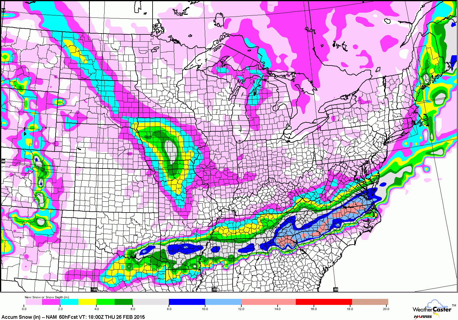
The best chances for accumulation will be across southern Maryland and the lower eastern shore but a slight shift in the precip field northward would bring accumulating snow to most of the state. At any rate, the main issue is that it will be coming during the morning hours and will likely impact the morning commute.
I will refine this forecast later today as the latest model data comes in and I will put out a snowfall forecast map tomorrow morning.
Behind that system, another shot of colder air works in for the end of the week and into the weekend. Lows Thursday night will fall back into the mid 10s and will only rise into the mid to upper 20s on Friday.
The first half of the weekend looks dry and “warmer” with highs on Saturday in the upper 20s to low 30s.
Another system may affect us late Sunday or Monday. At this time, it looks like perhaps some snow changing to rain Sunday afternoon into Monday. There is plenty of time to work out the details on this one.
Stay up to date with storm information on your favorite social media site!
Follow me on Twitter, Facebook and Google+!