
A Wind Chill Advisory has been issued for: Garrett and Western Allegany counties.
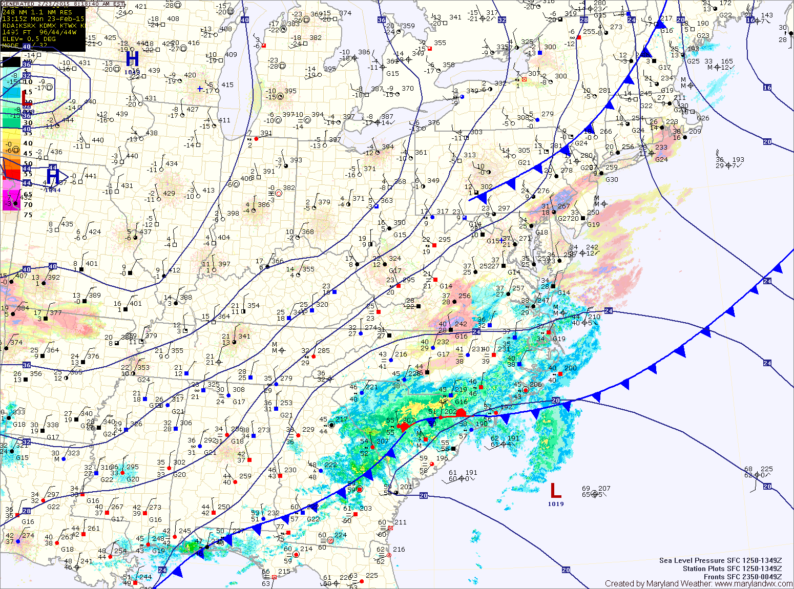
At any rate, the front is passing through now and the cold air is coming on gusty northwest winds. By later this afternoon, temperatures will fall into the single digits across the mountains and the low to mid 20s the rest of the state on their way to overnight lows in the negative single digits in the mountains to single digits elsewhere.
Tomorrow will be mostly sunny but cold, with highs in the mid 20s.
Another cold front will pass through late tomorrow night into Wednesday and may be accompanied with scattered snow showers.
Highs on Wednesday will likely climb into the mid 30s, before cold high pressure builds in later in the day. Lows will fall back into the mid 10s Wednesday night.
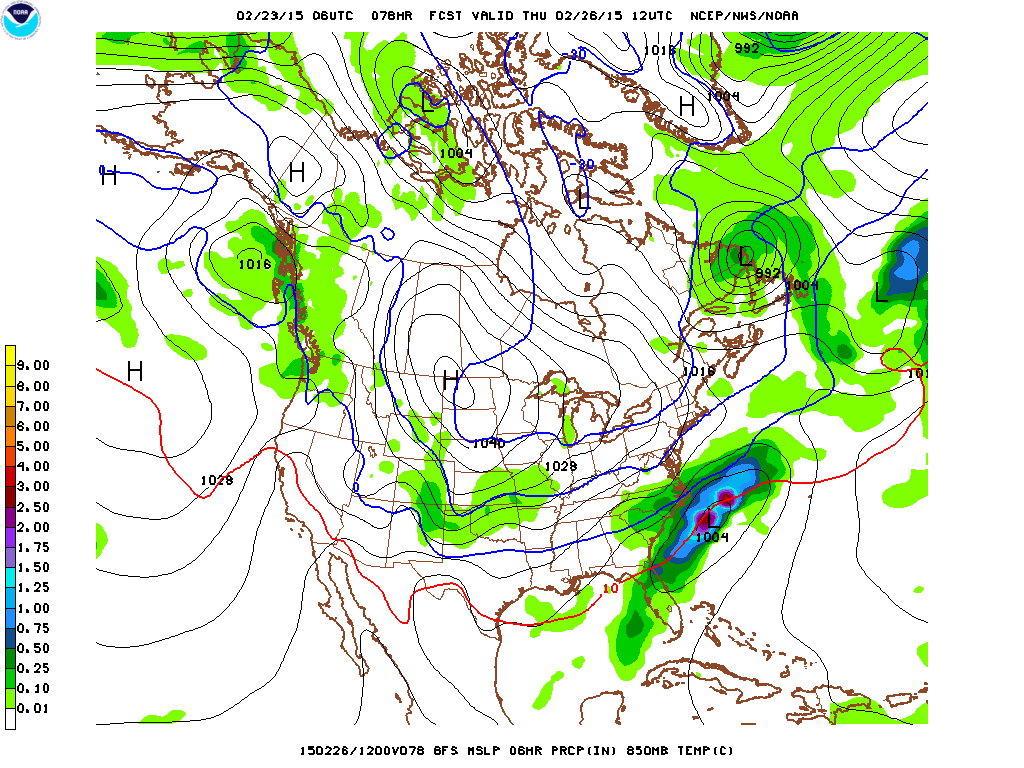
At this time, it appears the storm will stay to our south, bringing wintry weather to southern Virginia and North Carolina on Thursday while we stay dry and cold with highs in the mid 20s.
There is a chance that another system may affect our area Friday and Saturday. The details of that will be worked out over the next few days.
Stay up to date with storm information on your favorite social media site!
Follow me on Twitter, Facebook and Google+!