
A cold front will pass through tomorrow, accompanied by snow showers that may accumulate up to an inch during the evening commute. Behind this front, arctic air will pour back into the region, likely colder than this past weekend’s cold shot.
Expect temperatures to plummet tomorrow night as northwest winds gust to around 25mph. Lows will bottom out in the low teens by Thursday morning.
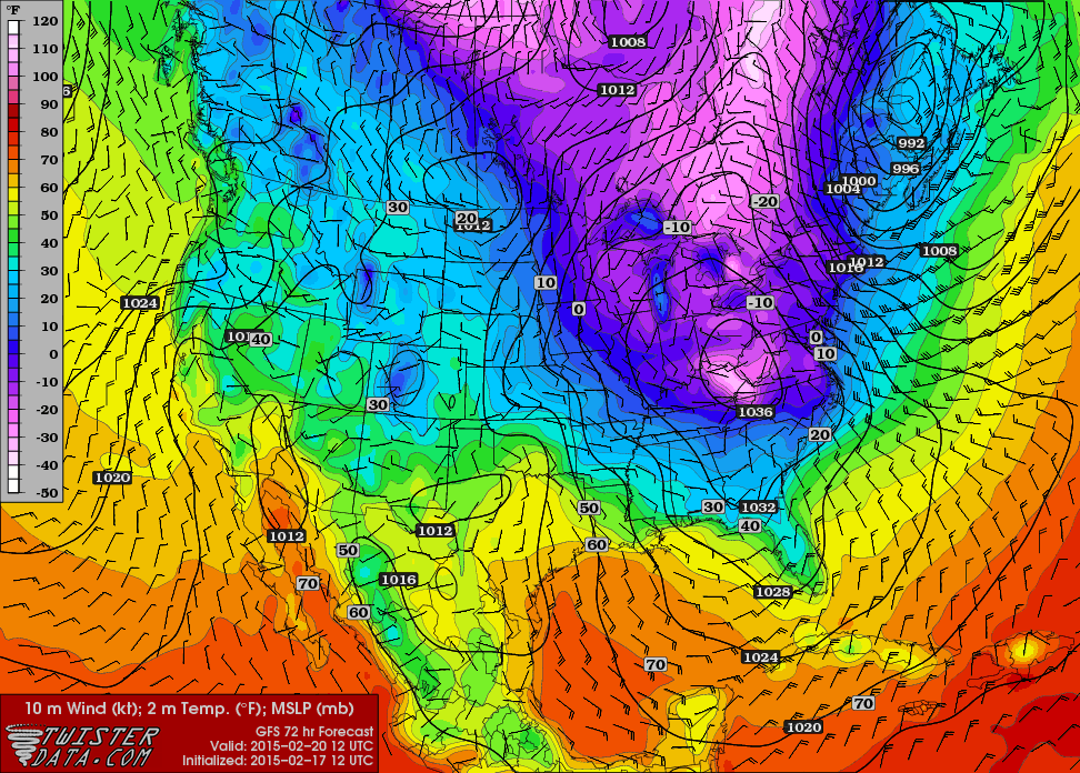
(Map from TwisterData.com)
Temperatures will begin to climb this weekend, ahead of the next major weather maker. Highs on Saturday will likely approach the freezing mark. The first time we will have been near or above freezing since last week.
At this time, it looks as though an area of low pressure will develop and move basically right over our state Saturday into Sunday. If this scenario were to play out, a wintry mix changing to rain would likely be the outcome Saturday afternoon into Sunday morning. The details of this event will take a few days to come into focus, but at this point it looks like we should prepare for another round of wintry precipitation this weekend.