
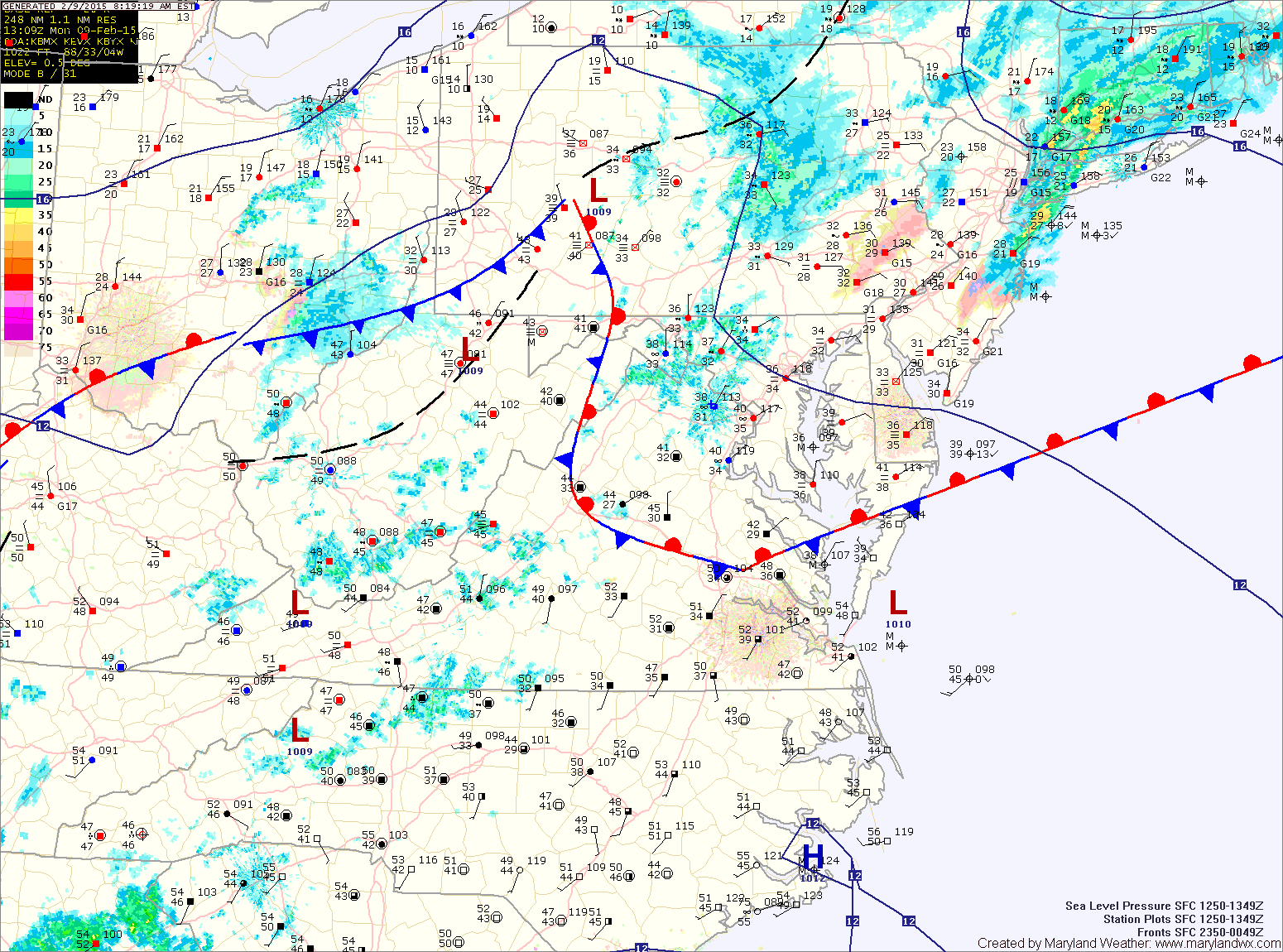
Scattered showers are passing through this morning and will increase in coverage this afternoon. Showers will be likely into tonight and as temperatures drop, they may turn over to a light freezing rain/sleet/snow mix. Little to no snow or ice accumulation is expected. Highs today will be in the low 40s, dropping into the low 30s tonight.
High pressure will build in tomorrow leading to decreasing clouds throughout the day. Highs will be in the upper 30s.
The high will remain in control through Wednesday and into Thursday. Highs on Wednesday will be in the low 40s under mostly sunny skies.
A strong arctic cold front will move through on Thursday, bringing just a slight chance of rain or snow showers as it pushes through. The real story will be the strong gusty winds and bitterly cold air that moves in behind it. Highs on Thursday will be around 40 but behind the front, temperatures will plunge into the teens Thursday night.
Friday will remain windy and cold, with highs in the mid 20s.
Temperatures will remain well below normal through the weekend as reinforcing cold air continues to flow into the region. Highs on Saturday will be near 30 while Sunday’s highs will likely remain in the 20s.