
A Winter Weather Advisory has been issued for Garrett county.
A Wind Advisory has been issued for the entire state, except Garrett county.
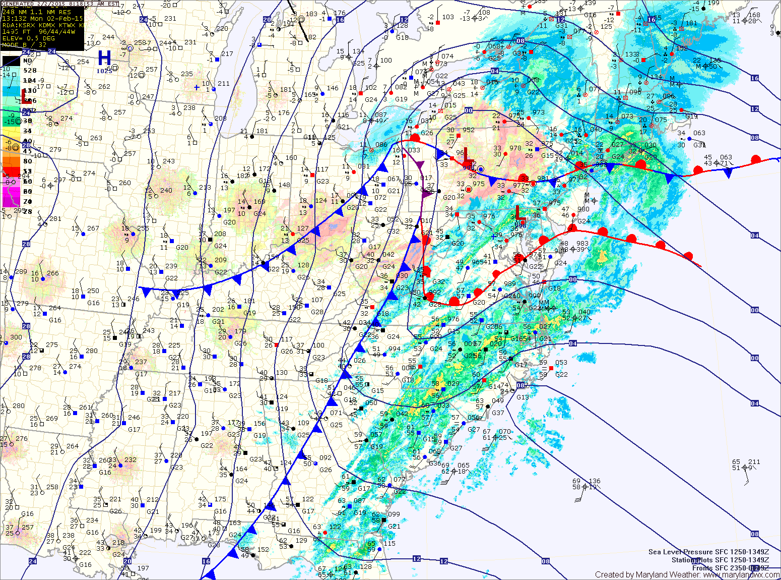
Temperatures are above freezing everywhere except Garrett county, even surging into the mid 50s across southern Maryland. Rain showers, with brief moderate to heavy rain will continue into the afternoon hours.
Temperatures will continue to rise, topping out in the mid 40s around noon before the storm system’s cold front sweeps into the area.
Once the front passes this afternoon, much colder air will flow in on strong northwest winds. Winds could gust to 45-50mph this afternoon and evening. Temperatures will likely bottom out in the low to mid teens tomorrow morning.
Winds will decrease tomorrow but temperatures will struggle to reach the freezing mark under mostly sunny skies.
Wednesday will see a return to near normal temperatures as highs move into the low to mid 40s. Another cold front will push through Wednesday night into Thursday morning with limited moisture.
Light rain, possibly changing to or mixing with light snow Wednesday night into Thursday morning is possible with this frontal passage.
The front will knock temperatures back again Thursday, with highs only reaching the low to mid 30s and falling back into the teens Thursday night.
Friday will remain cold but dry, with highs around 30.
Temperatures will moderate a bit as we head into the weekend, with another chance of light rain or snow showers possible on Sunday.