
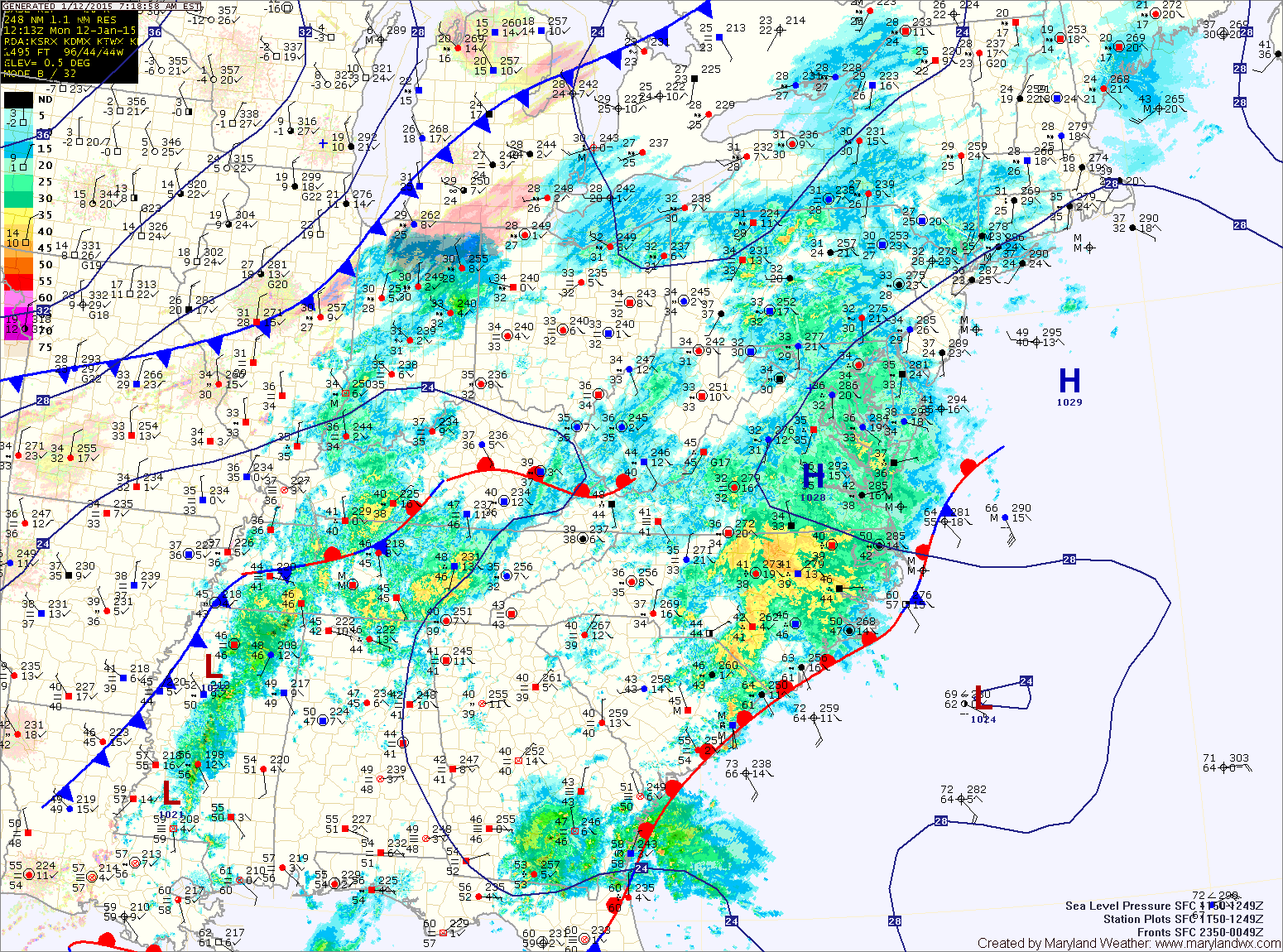
Temperatures will slowly climb this morning, changing any freezing rain over to rain. Highs today will reach the upper 30s to near 40.
Areas of rain will continue through the afternoon and into tonight. The rain may mix with or end as a brief period of snow tonight.
High pressure builds back in late tonight and tomorrow. Expect clearing skies, gusty winds and highs in the low 30s.
Another system may bring light snow to the area Wednesday into Wednesday night before pushing off of the coast. Right now, it does not look likely and would be a minor event if it were to occur. Highs on Wednesday will be in the low 30s.
High pressure returns for the end of the work week and into the weekend. Temperatures will moderate with highs pushing into the mid 40s by Saturday.