Winds should subside tomorrow afternoon but it will remain cold. Highs will only reach the low 20s under mostly sunny skies.
Clouds will increase on Sunday, ahead of the next system that will affect our area early next week. Highs will be in the low to mid 30s.
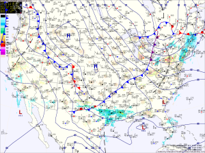
Moisture from the Gulf of Mexico will be drawn northward by a weak cold front Sunday night into Monday. Additionally, warmer air will be drawn northward, overrunning the colder air in place at the surface. As a result, expect sleet or freezing rain to develop Monday morning across most of the state. Freezing rain will be likely during the morning hours, transitioning to plain rain by the afternoon except in the valleys of the mountains where the cold may hold on longer. Highs on Monday will be in the mid 30s.
The rain will continue into Monday night, possibly ending as snow as colder air works back in.
Behind that system, temperatures will remain slightly below normal, with highs in the low to mid 30s through the end of the week.
