
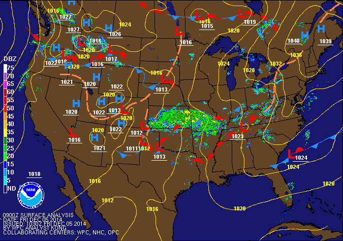
In the meantime, an area of high pressure to our north will keep us mostly dry today with just a slight chance of showers late this afternoon and evening. Highs will reach the mid 40s.
The low pressure will move into the area tonight, spreading showers into the state. The rain will continue tomorrow, becoming steady. Highs will be in the low 50s.
The low will depart Saturday night, taking the rainfall with it but not before .50-.75″ has fallen.
High pressure will build back in on Sunday, helping skies to clear. Expect mostly sunny skies by afternoon and highs in the mid to upper 40s.
Monday starts off dry, but with increasing clouds as an area of low pressure develops off of the southeast coast. The exact track of this low is uncertain at this time, but it may bring a chance of rain or snow Monday night into Tuesday.