
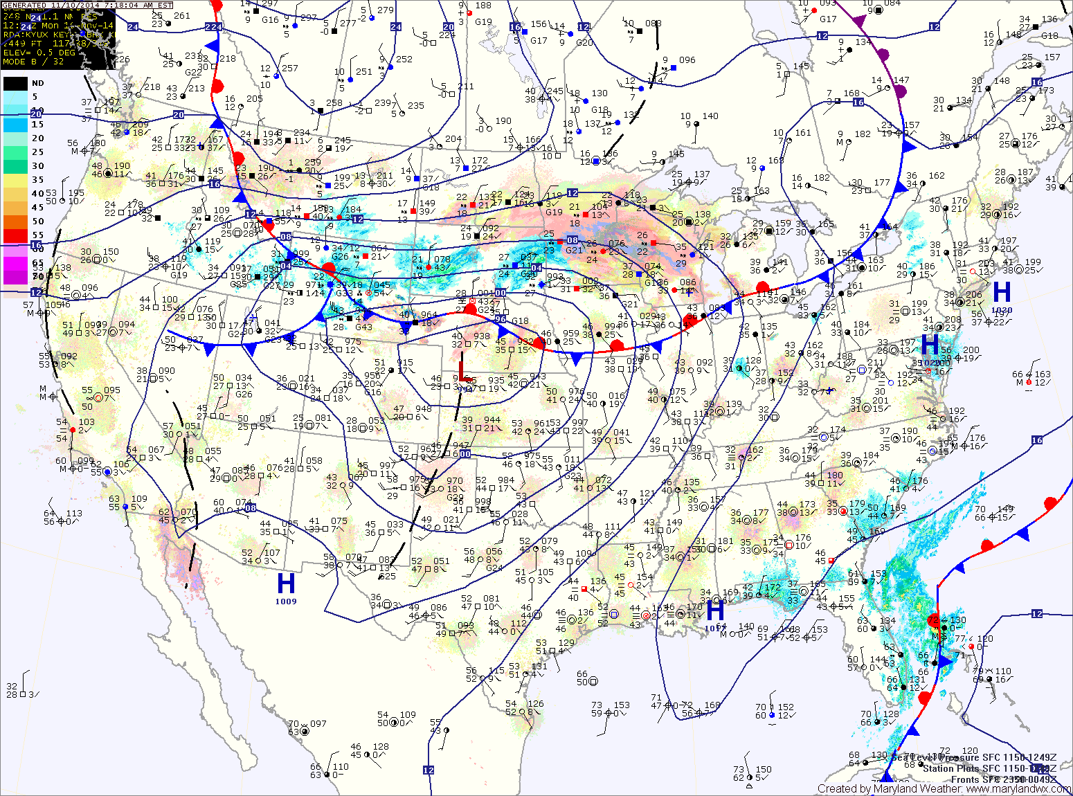
The high will move off of the coast tonight and tomorrow. The flow around the high will bring in warmer and more humid air, resulting in an increase in clouds and highs in the mid 60s.
A weak cold front will approach late tomorrow into tomorrow night. The front, combined with on shore flow may produce drizzle or a light sprinkle during the overnight.
Skies will clear on Wednesday on breezy northwest winds. Highs will be in the low to mid 60s.
Cold air will spill into the region Thursday and Friday as Canadian high pressure builds into the middle of the country. At the same time, a weak area of low pressure will form off of the Carolina coast Thursday night into Friday. At this time, it appears the low will form well off of the coast and move away, not affecting the area. Thursday’s highs will be in the mid to upper 40s while highs on Friday will be in the low 40s.
Saturday will be sunny but cold, with highs in the low 40s.
Another storm system will move into the region on Sunday. Rainfall is possible Sunday into Monday with this system. Highs will be in the upper 40s.