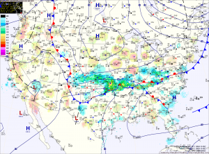
The rain will continue into tomorrow morning before tapering off as the low tracks to the northeast and off of the New England coast. Highs tomorrow will be in the low to mid 60s.
Sunday will be dry, with highs in the low 60s.
Light rain may return Sunday night into Monday as another weaker system moves into the region. Highs on Monday will be around 70.
A strong cold front will approach on Tuesday and looks to pass through Tuesday night with possibly heavy rainfall and thunderstorms. Highs on Tuesday will be in the mid 70s.
The front will clear the area by Wednesday morning and high pressure will build in for the remainder of the week.
