
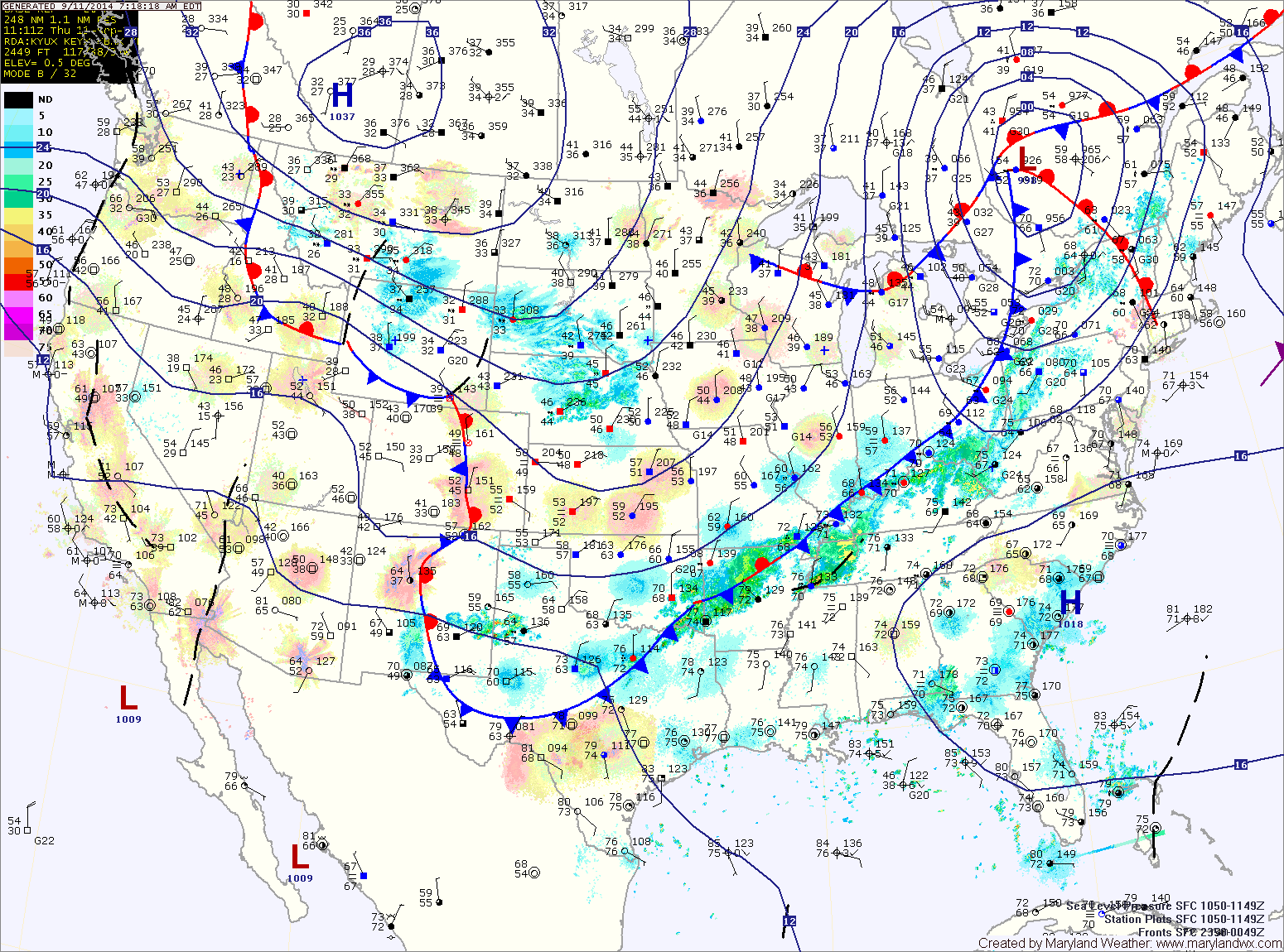
Some of the storms may become severe with damaging winds and locally heavy rainfall. Highs today will reach the mid to upper 80s.
The front will pass through this evening, bringing an end to the rainfall.
The front will stall out to our south tomorrow, leading to a variably cloudy day. Highs will be in the mid to upper 70s.
The front will then move back northwards on Saturday, bringing a chance of showers with it. Highs will be in the low to mid 70s.
A second front will push through Saturday night, allowing high pressure to return Sunday. As a result, expect mostly sunny skies and highs in the low 70s.