
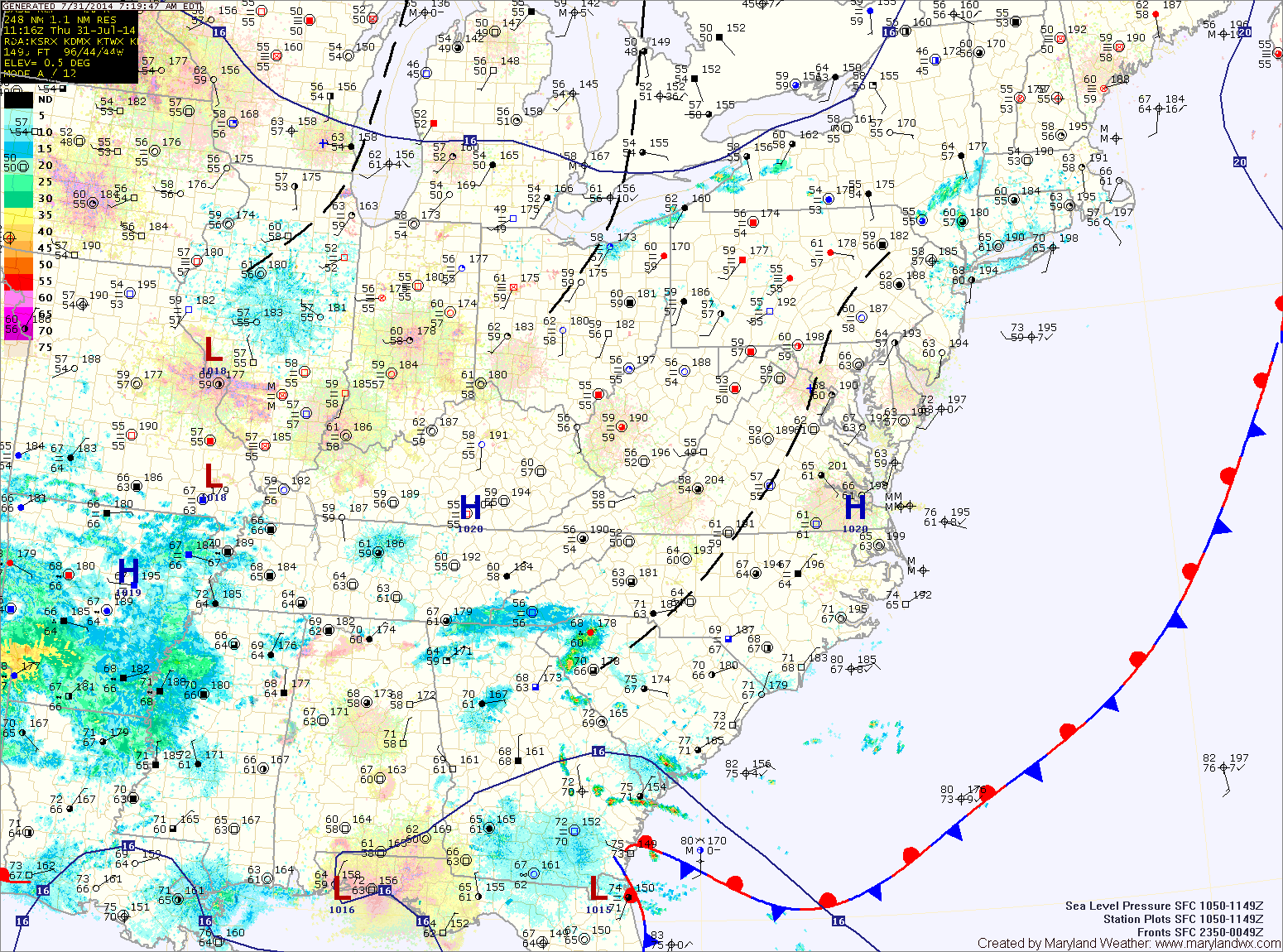
The high will get pushed eastward tonight by an upper level trough. This trough will bring showers to the area beginning late tonight through tomorrow. There may be a few rumbles of thunder tomorrow afternoon. Highs tomorrow will be in the low 80s.
Showers will remain likely tomorrow night, with some thunder also possible. Rain chances will continue Saturday and will increase in coverage during the late afternoon and evening. Highs will be around 80.
Showers and thunderstorms are likely Sunday as a cold front approaches from the west. Highs will be in the low 80s.
The front should clear by Monday morning, ushering in drier air to start the work week.
Temperatures look to return to normal for the beginning of August as we push into next week.
Yesterday’s Weather Station Stats:
High Temp: 80.5°
Low Temp: 52.9°
Rain: 0.00″