
A FLASH FLOOD WATCH is in effect for most of the state except far Western Maryland and the lower Eastern Shore.
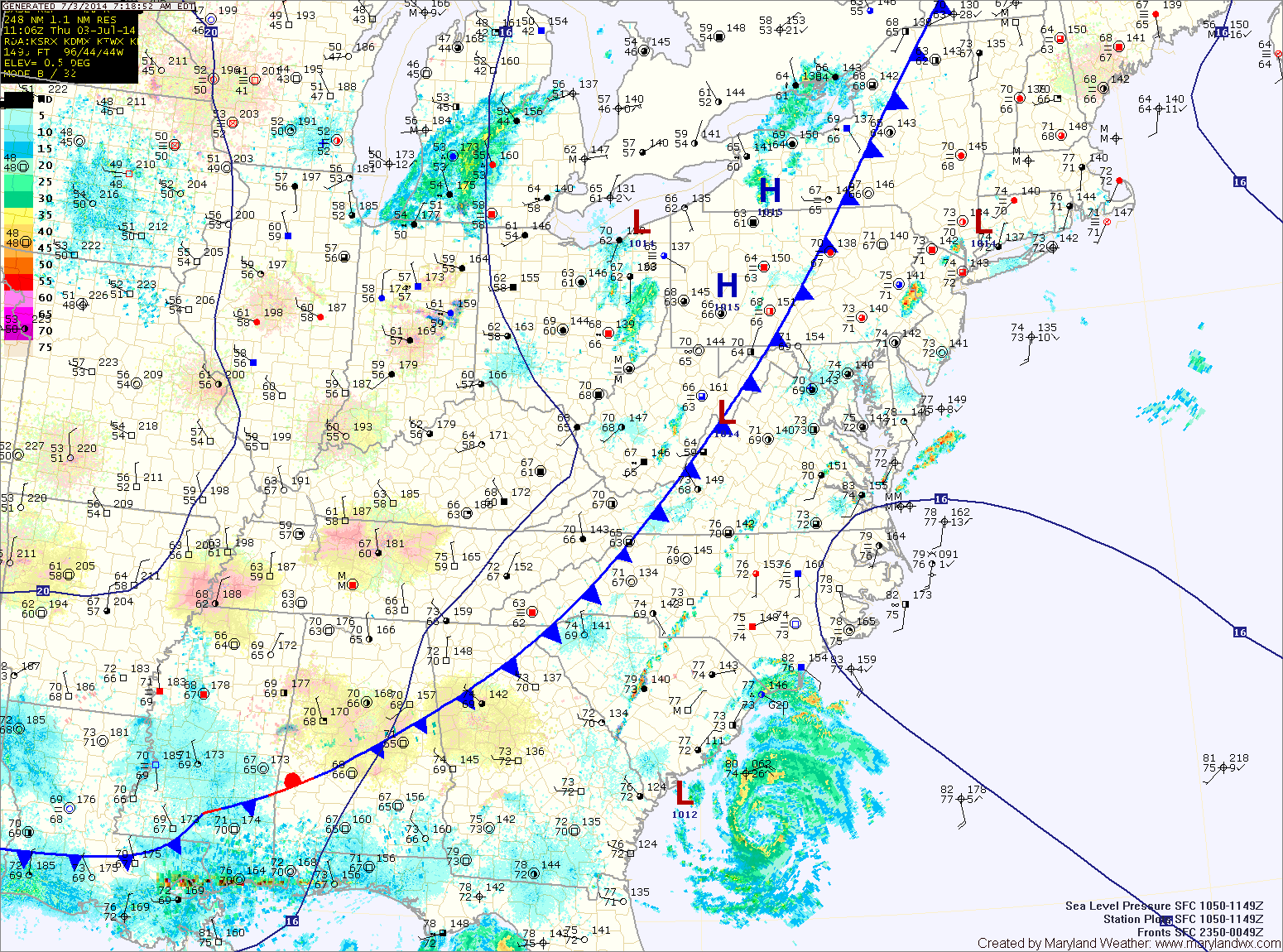
The front will push through tomorrow morning, ending the rainfall and ushering in cooler and drier air for the holiday weekend. Expect mostly sunny skies by tomorrow afternoon, with highs in the low 80s.
The front will also steer Hurricane Arthur well east of the state. By Friday afternoon, the storm should be well off the Ocean City coast, accelerating away from the area.
High pressure builds in Saturday and Sunday. As a result it will be mostly sunny both days, with highs in the low to mid 80s and lower humidity.
The reprieve will be short lived as the high slides off of the coast Monday and the heat and humidity begins to build again. Expect highs near 90 Monday and into the low 90s Tuesday. Thunderstorm chances also increase as we move towards mid-week.
Yesterday’s Weather Station Stats:
High Temp: 93.1°
Low Temp: 73.5°
Rain: 0.26″