
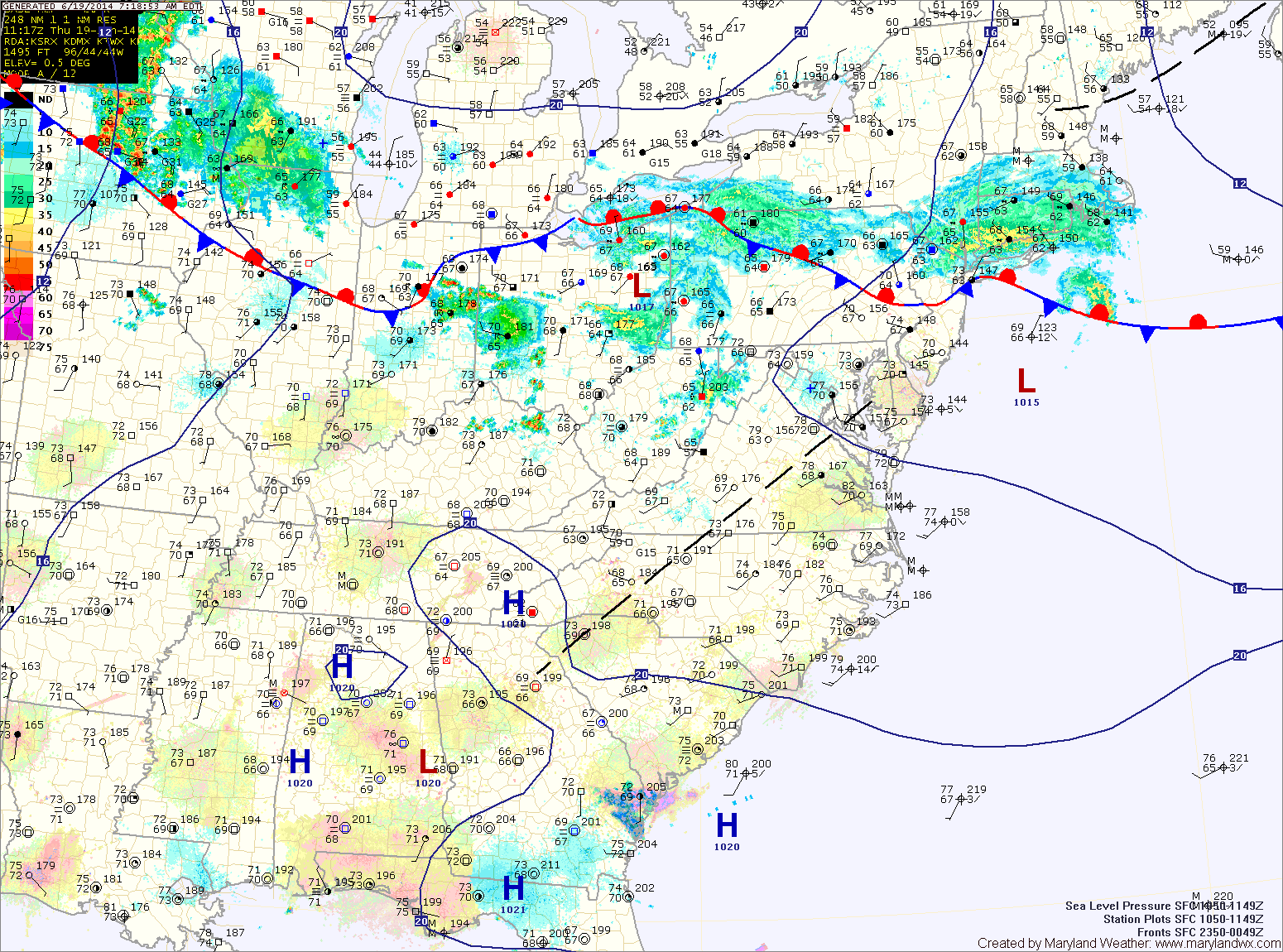
The main threat with these storms will be very heavy rainfall, damaging winds and large hail. Highs will be in the upper 80s.
The front will press south of the state tonight, ending the storm threat.
The front should remain south of the state tomorrow allowing northwest flow to bring in cooler and drier air. Expect partly sunny skies and highs in the low to mid 80s.
A weak disturbance will move along the front Saturday, bringing another chance of showers and thunderstorms to the area Saturday afternoon and evening. Highs will be around 80.
With the front still near by on Sunday, expect a mix of clouds and sun with highs in the low 80s.
Monday and Tuesday look mostly dry as temperatures and humidity increase ahead of a cold front. Highs on Monday will be in the mid to upper 80s, warming to around 90 on Tuesday.
A cold front will likely bring showers and thunderstorms on Wednesday.
Yesterday’s Weather Station Stats:
High Temp: 94.6°
Low Temp: 75.5°
Rain: 0.00″