
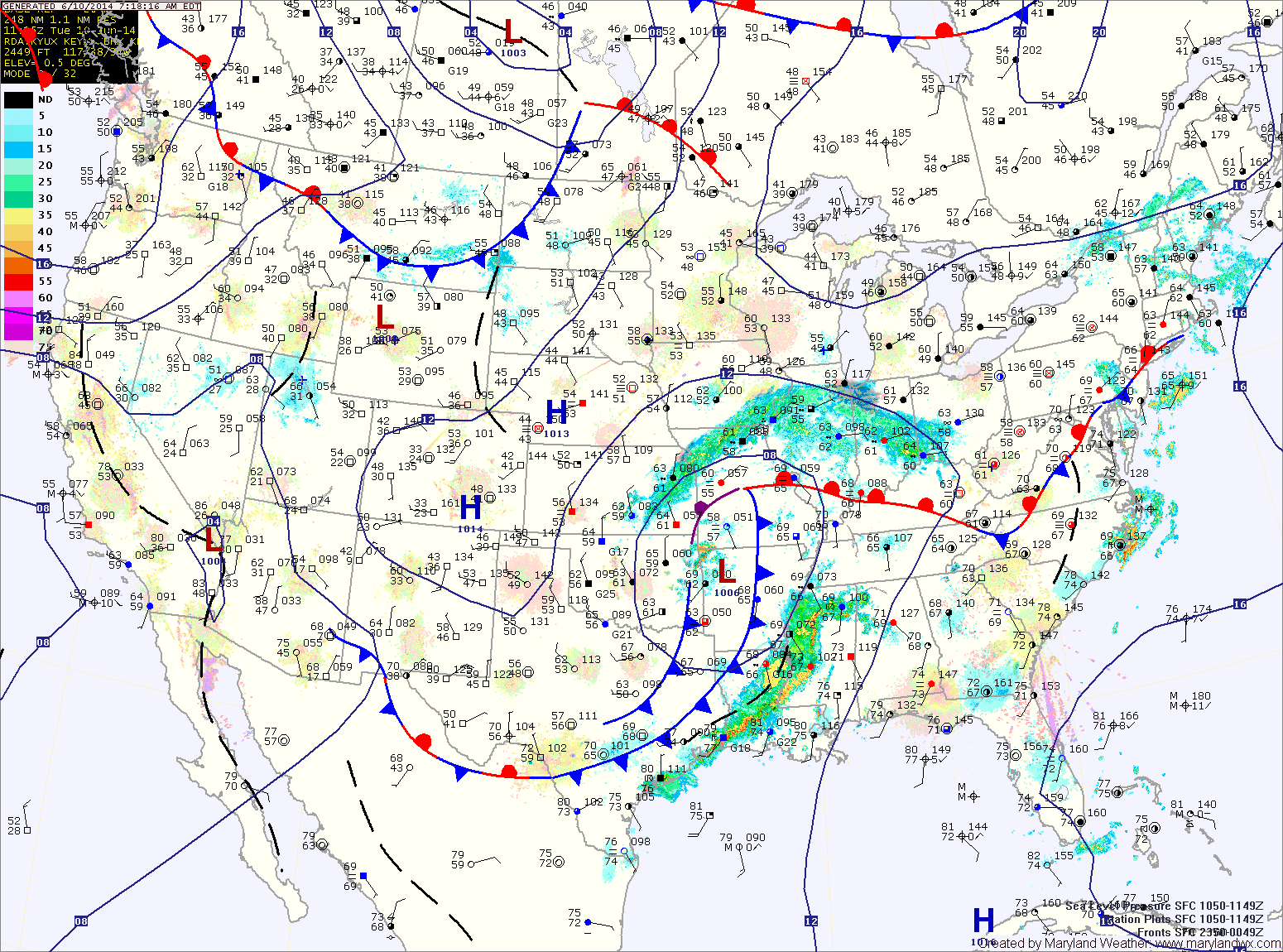
An area of low pressure will approach tomorrow, increasing shower and thunderstorm chances. Showers and thunderstorms are likely during the afternoon and evening hours. Some of the storms could become severe with damaging winds and large hail. Highs will be in the mid 80s.
The low pressure system will move by to our northwest Thursday, keeping the region in warm and humid air. Showers and thunderstorms are likely again Thursday into Thursday night. Highs will again be in the mid 80s.
A cold front will finally push through Friday, bringing another round of showers and thunderstorms as it does. The rain chances will likely continue through Friday night and into early Saturday morning before the front clears the area. Highs will be in the mid 80s.
Behind the front, a nice weekend is expected. Sunshine will return by Saturday afternoon and sunny skies will continue on Sunday. Highs will be in the low 80s with lower humidity.
Showers and thunderstorms will be possible again on Monday as the humidity builds again due to high pressure moving off of the southeast coast.
Yesterday’s Weather Station Stats:
High Temp: 82.2°
Low Temp: 67.6°
Rain: 0.07″