
With a weak frontal boundary over the area today, expect isolated showers and thunderstorms to develop this afternoon. Highs will be in the low 80s.
Expect more of the same tomorrow, with highs in the mid 80s.
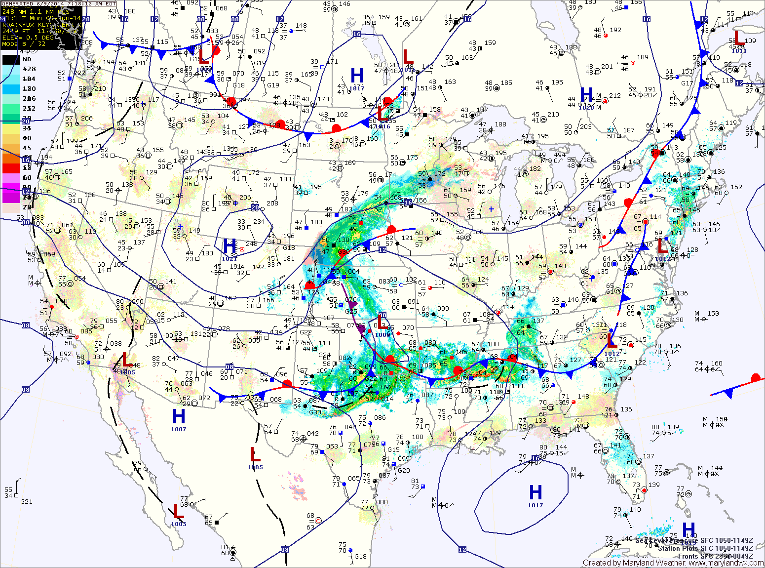
Low pressure that is currently over Oklahoma will move northeastward and be to our west on Wednesday. This system will reinforce shower and thunderstorm chances Wednesday into Thursday. Highs will continue in the mid 80s both days.
A stronger cold front will approach on Friday and push through with more showers and thunderstorms. The front should clear the area by late Saturday morning or early afternoon, bringing an end to the humid conditions and rainfall.
Skies should clear during the day Saturday with sunshine continuing Sunday. Highs both days will be in the mid 80s with lower humidity.
Yesterday’s Weather Station Stats:
High Temp: 82.9°
Low Temp: 57.8°
Rain: 0.00″