
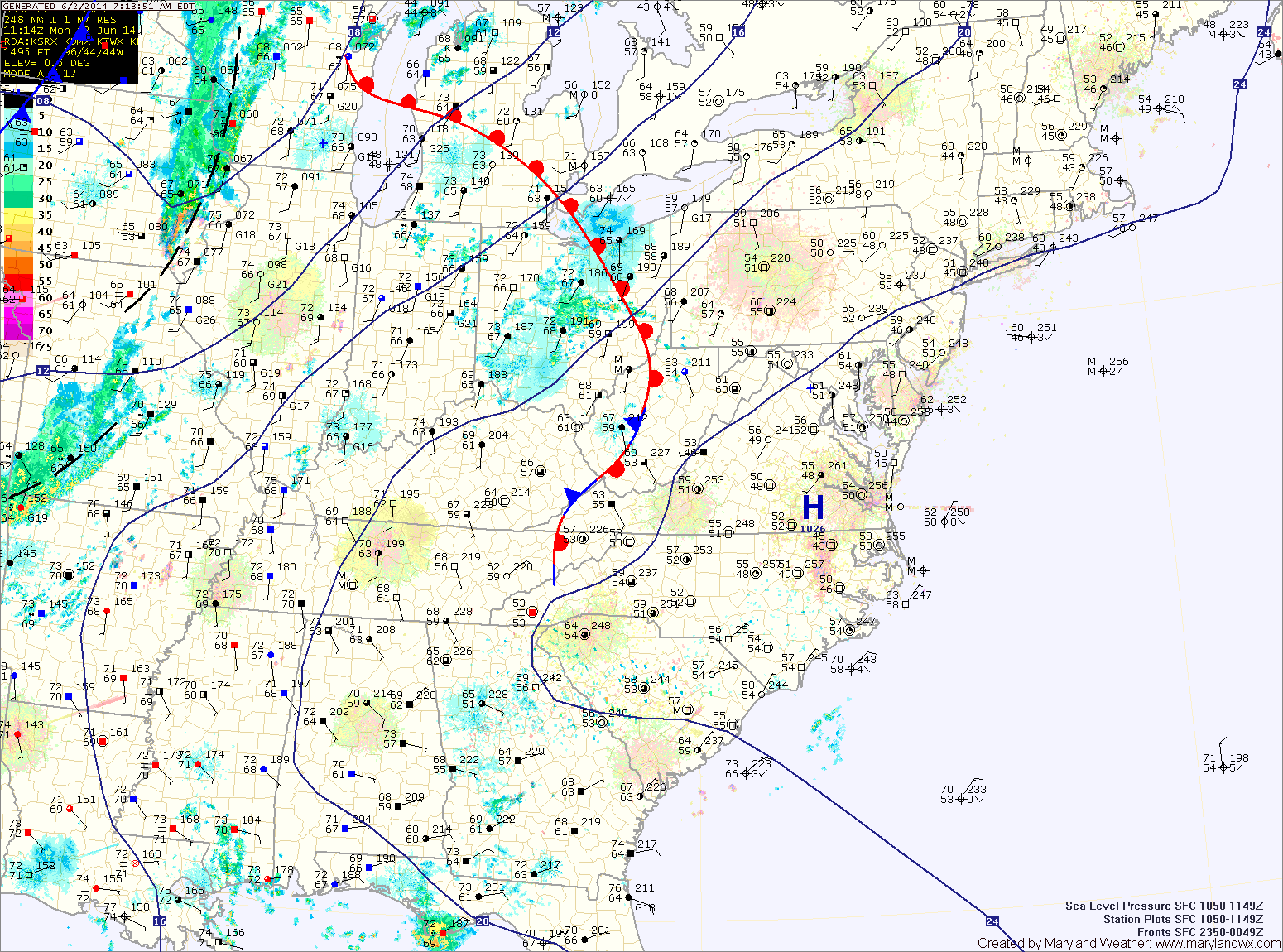
Temperatures will be even warmer tomorrow as southerly flow sharpens ahead of a cold front. This will also increase moisture and lead to afternoon and evening thunderstorms. Highs will be in the upper 80s.
The front will pass through Tuesday night, bringing an end to the thunderstorm activity.
Wednesday will be mostly sunny, with highs in the mid to upper 80s.
Another, potent system will push through Wednesday night into Thursday bringing another chance for showers and thunderstorms. Highs will be in the low 80s.
Rain chances taper off Thursday night as the system moves off the coast.
Friday will be a transition day as Thursday’s system moves away and high pressure begins to build in from the west. Highs will be around 80.
High pressure builds in Saturday, bringing a return to sunshine and dry conditions for the weekend. Highs on Saturday and Sunday will be in the low to mid 80s under mostly sunny skies.
Yesterday’s Weather Station Stats:
High Temp: 76.3°
Low Temp: 49.9°
Rain: 0.00″