
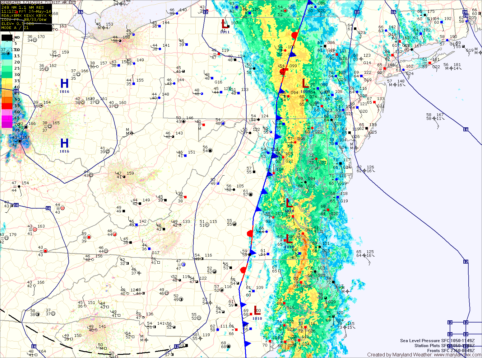
A cold front with copious amounts of tropical moisture is pressing through the state this morning. Ahead of and along the front, heavy rain is occurring. The front will continue to push eastward over the next few hours, ending the rainfall from west to east.
Generally, 1-4″ of rain has fallen west of the bay, leading to areas of flooding. Highs this afternoon will be in the upper 60s.
A secondary front will pass through late this evening, bringing another chance of showers as it does.
Behind this front, high pressure will begin to push into the region beginning a stretch of dry and pleasant weather. Expect mostly sunny skies tomorrow and Sunday with highs around 70 both days.
Monday and Tuesday will be nice, with mostly sunny skies and highs in the upper 60s to low 70s.
The next rain chances look to be Wednesday afternoon, with a better chance of rain on Thursday.
Yesterday’s Weather Station Stats:
High Temp: 80.5°
Low Temp: 62.5°
Rain: 0.02″