
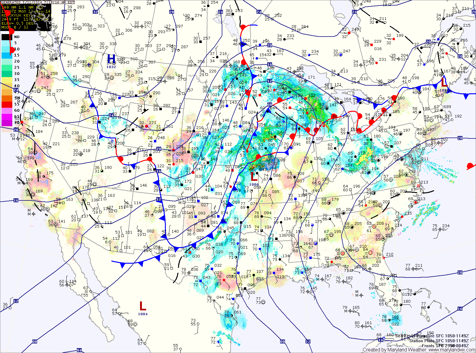
A cold front will approach tomorrow, first pushing a warm front through during the morning. This will lead to a partly sunny afternoon with breezy southeast winds. Highs will be around 80.
Scattered showers will likely begin to move into the area later tomorrow afternoon or evening as the front moves closer.
Rain chances will increase dramatically tomorrow night and Friday. Expect more widespread rain and embedded thunderstorms. The rain could be heavy at times. Highs on Friday will be in the low 70s.
The front will push through Friday night, bringing an end to the rain and setting up a pleasant weekend.
Saturday and Sunday will be mostly sunny, with highs in the upper 60s to low 70s.
The nice weather will continue well into next week as well.
Yesterday’s Weather Station Stats:
High Temp: 87.9°
Low Temp: 60.0°
Rain: 0.00″