
A FLOOD WARNING is in effect for portions of Anne Arundel, Baltimore, Howard, Montgomery, and Prince George’s counties.
A COASTAL FLOOD WARNING is in effect for Anne Arundel, Baltimore, Calvert, Prince George’s and St. Mary’s counties.
A COASTAL FLOOD ADVISORY is in effect for Caroline, Dorchester, Queen Annes, Somerset, Talbot and Wicomico counties.
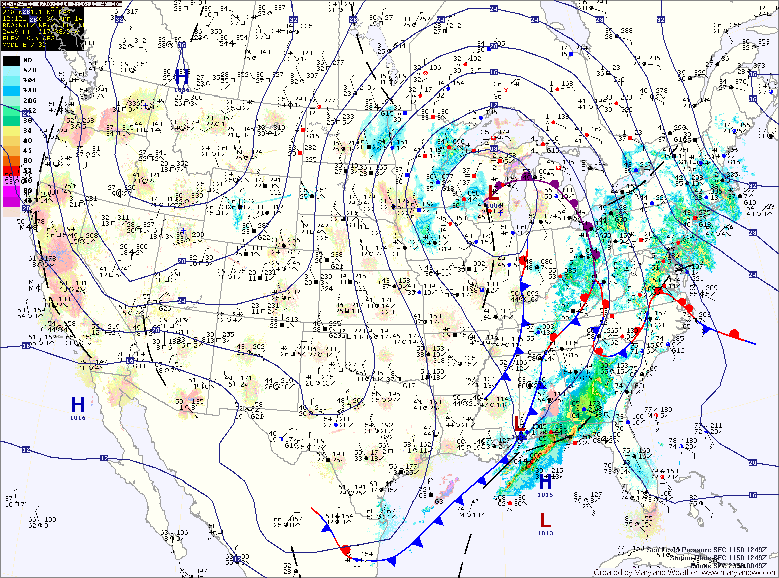
As the area of low pressure that has been slowly moving through the center of the country continues its slow journey northeastward, expect more rainfall and thunderstorms across the area today. The rain will be heavy at times as moisture from the Gulf of Mexico and the Atlantic enhance the rainfall.
The rain will continue through tonight. Thunderstorms will also be possible tonight, especially across southern Maryland. Expect a total 1-2″ of rain today and an additional 1-2″ tonight. Highs today will be in the mid 60s.
A cold front will cross the area tomorrow morning, slowly bringing an end to the rain. Expect partial clearing during the afternoon and highs in the low 70s.
Friday will be a pleasant but breezy day, with a mix of clouds and sun. Highs will be in the upper 60s.
A weak cold front will likely move through on Saturday, with little moisture. Expect another day of clouds and sun with highs around 70.
Sunday should feature a bit more sunshine, with highs again near 70.
High pressure should return to start next week, resulting in mostly sunny skies and near normal temperatures Monday and Tuesday.
Yesterday’s Weather Station Stats:
High Temp: 50.2°
Low Temp: 47.0°
Rain: 1.06″