
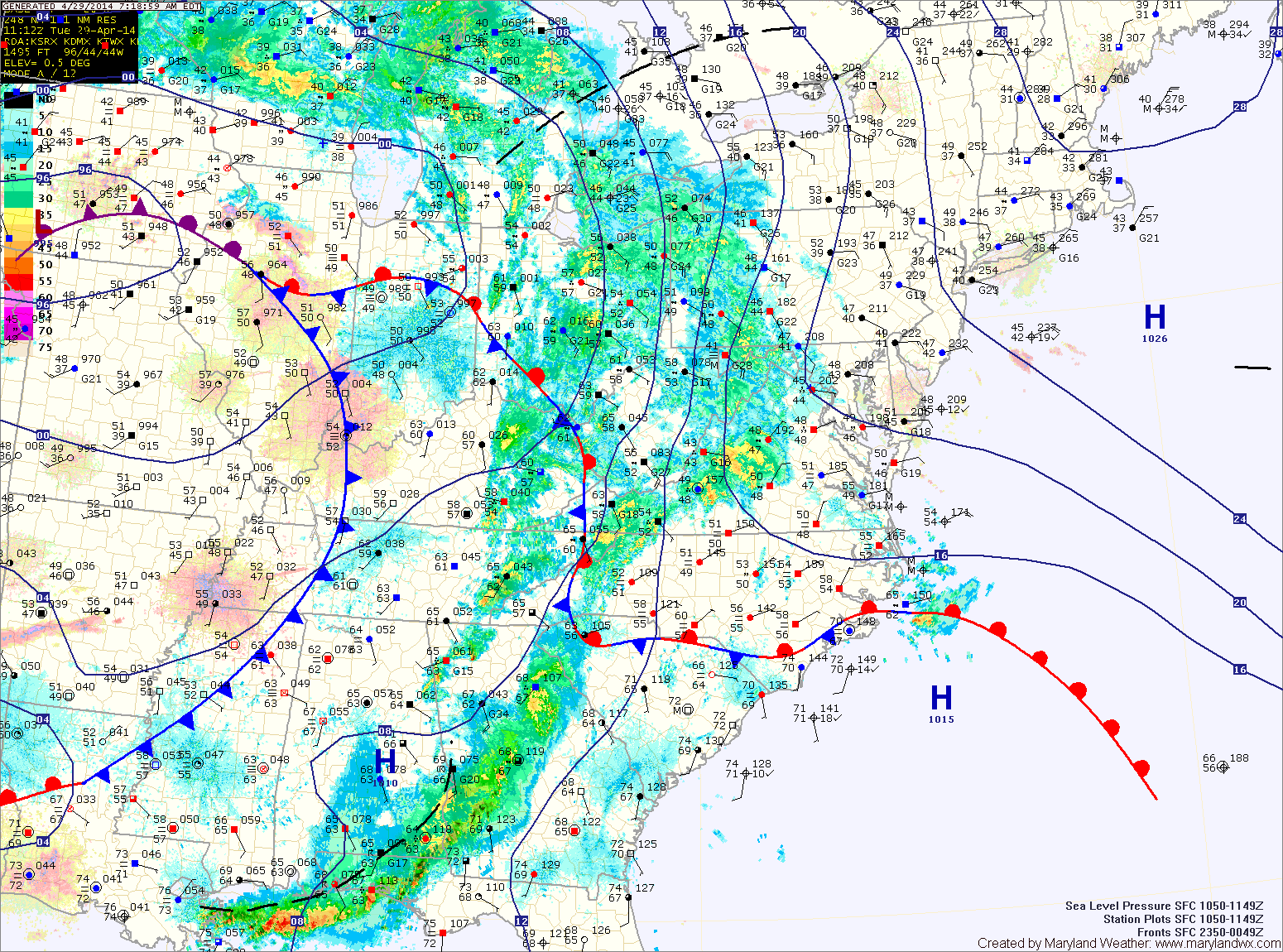
A large area of low pressure continues to slowly move through the middle of the country. The low has been responsible for the severe weather and tornadoes across the deep south and will spread another round of rainfall into our area today.
Rain is moving back into the state from west to east. Expect rain to overspread the entire state over the next few hours. The rain will continue through the day. It will also be breezy with highs in the low 50s.
The rain will continue tonight, heavy at times. Embedded thunderstorms are also possible during the overnight.
Expect more of the same tomorrow. Heavy rainfall with thunderstorms also possible. Some of the storms could become severe, especially during the afternoon and evening. It will be warmer and continued breezy, with highs in the mid to upper 60s.
Rainfall will continue tomorrow night and into Thursday morning as a cold front slowly approaches from the west. Expect rain to begin to taper off during the late morning on Thursday. The front should slowly clear the area during the day Thursday, bringing an end to the rainfall from west to east through the day. Highs on Thursday will be around 70.
Behind the front, drier air will finally move into the region, setting up a pleasant Friday. Expect mostly sunny skies with highs in the upper 60s.
A weak disturbance will move through late Friday or early Saturday, bringing an increase in clouds and a slight chance of showers as it does. Highs will be in the upper 60s.
A weak cold front will move through Saturday night, setting up a nice Sunday.
Yesterday’s Weather Station Stats:
High Temp: 61.1°
Low Temp: 46.0°
Rain: 0.30″