
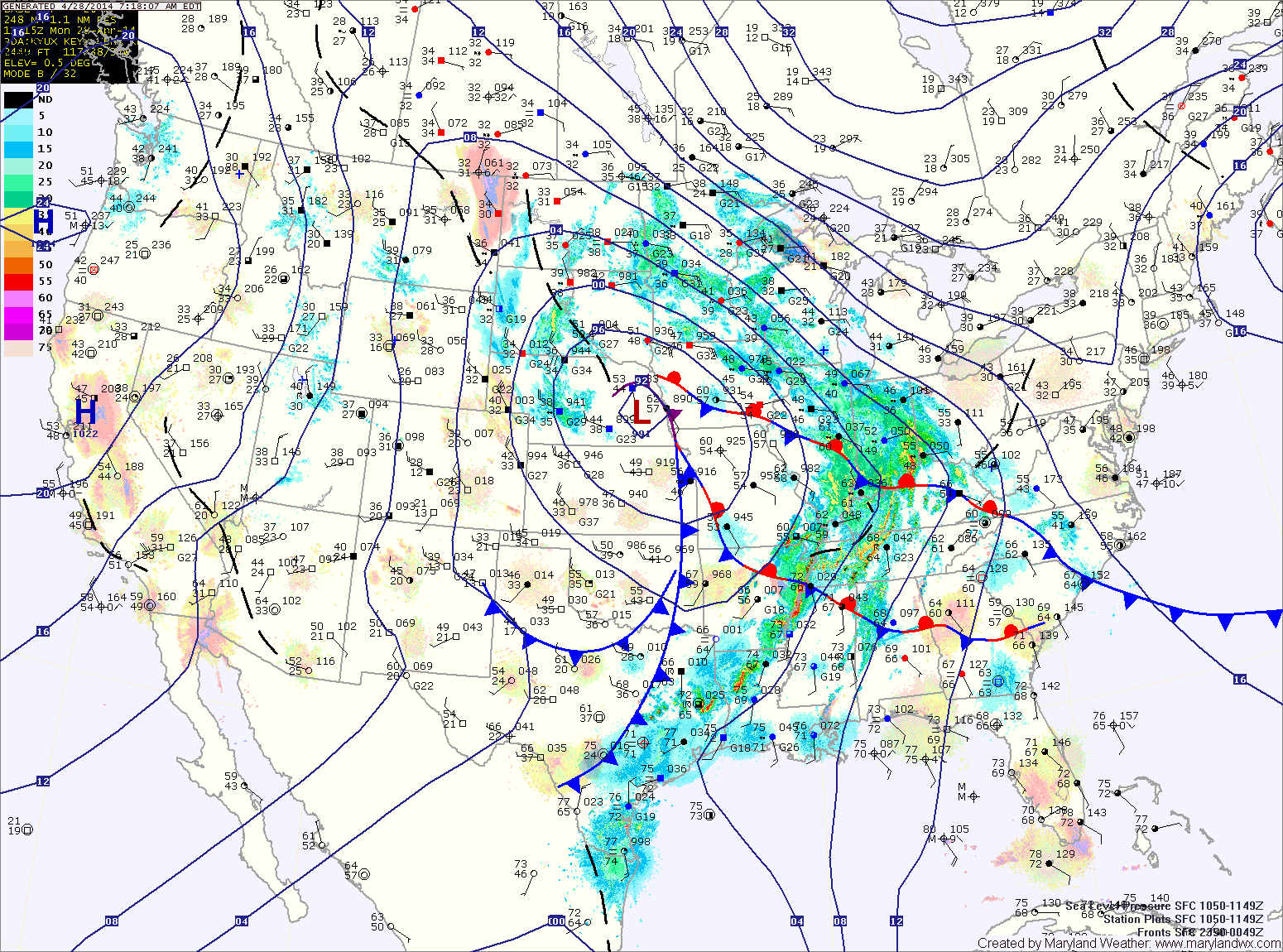
Today will feature increasing clouds with the first round of showers moving in late this afternoon or evening. Highs will be in the low to mid 60s.
Showers will continue tonight and tomorrow, with the rainfall becoming steadier tomorrow afternoon. It will also be breezy, with highs in the low to mid 50s.
Rain will continue tomorrow night and Wednesday, heavy at times. Isolated thunderstorms are also possible Wednesday afternoon. Highs on Wednesday will be in the mid to upper 60s.
Rain and thunderstorm chances continue Wednesday night as a cold front approaches from the west. The front will move through Thursday afternoon, finally bringing an end to the rain. Highs on Thursday will be in the low to mid 70s.
Friday will be mostly sunny, with highs in the mid 60s.
There is a slight chance of showers on Saturday. Highs will be in the mid 60s.
Yesterday’s Weather Station Stats:
High Temp: 67.8°
Low Temp: 43.1°
Rain: 0.00″