
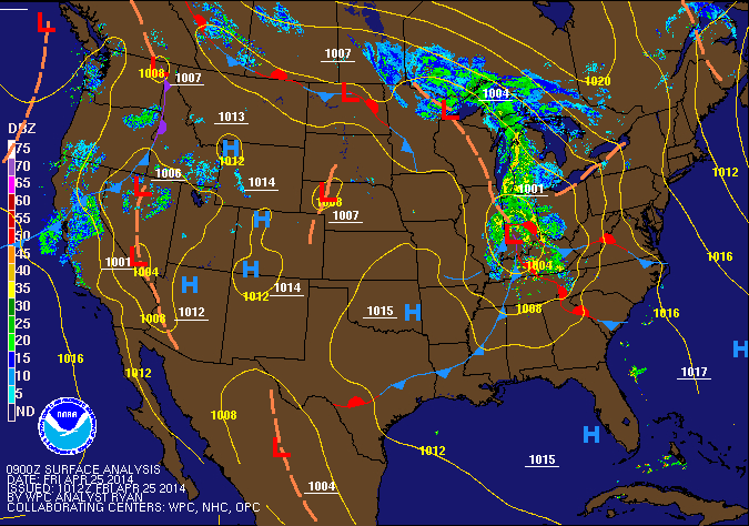
The front will clear the state tonight and skies will partially clear heading into tomorrow morning. Another front will sag southward tomorrow with very little moisture. There is a slight chance of an afternoon or evening shower, but otherwise it will be dry and warm with highs in in the low 70s.
Sunday will be mostly sunny with highs in the mid 60s.
An upper level low develop over the central US Monday, setting up a period of unsettled weather for the majority of the work week.
Monday will be dry, but with increasing clouds. Highs will be in the low to mid 60s.
Several rounds of rainfall are likely Monday night through Friday as disturbances rotate through the region. Showers and embedded periods of heavier rainfall are likely Tuesday through Wednesday night.
The showers will likely continue Thursday, before tapering off Friday.
Highs for the period will likely be held in the upper 50s to low 60s each day.
Yesterday’s Weather Station Stats:
High Temp: 65.8°
Low Temp: 38.5°
Rain: 0.00″