
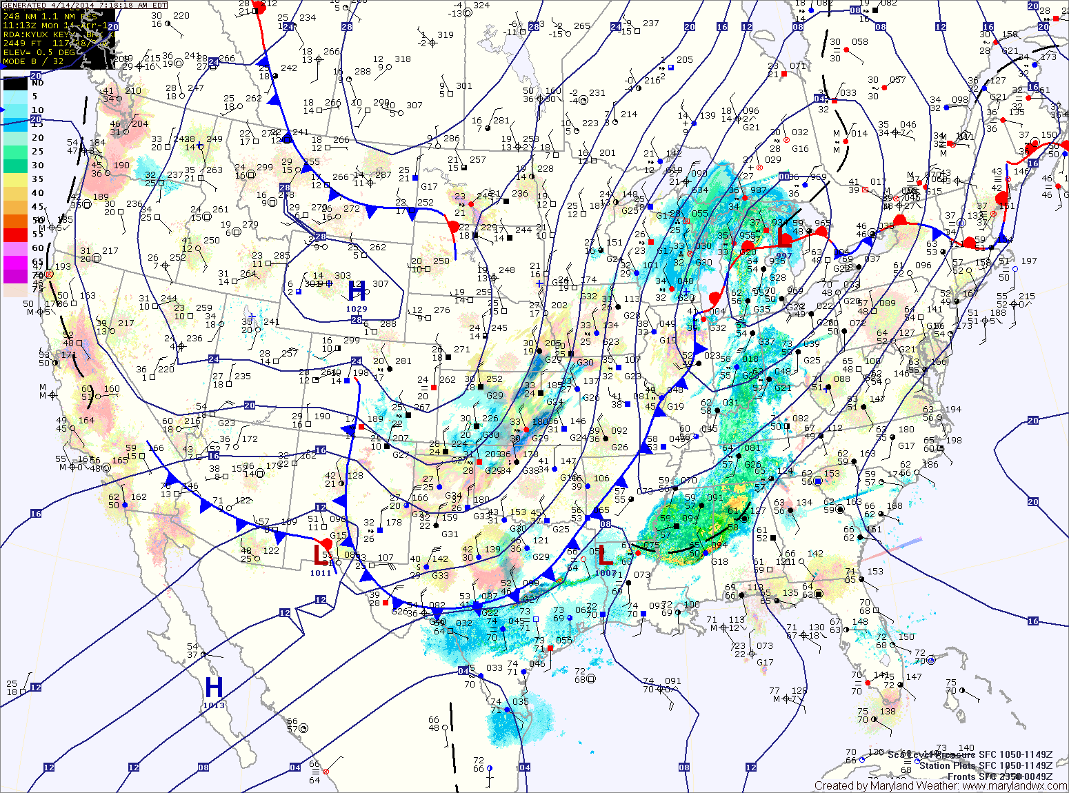
The front will move closer tonight, spreading showers into the area after sunset.
Showers will continue tomorrow with locally heavy rainfall possible. Thunder and gusty winds cannot be ruled out, especially tomorrow afternoon. Highs will be in the upper 60s before temperatures begin to fall during the late afternoon.
The rain will continue tomorrow night and as colder air moves in, it may end as a brief period of snow, especially north and west of the cities. No accumulation is expected. Lows will reach the low 30s.
Wednesday will be sunny but much cooler. Expect afternoon highs to only be around 50.
We remain cool to end the work week. Highs on Thursday will be in the mid to upper 50s under mostly sunny skies.
Friday will see similar temperatures to Thursday but with more cloud cover.
Shower chances increase Friday night and Saturday.
Yesterday’s Weather Station Stats:
High Temp: 83.1°
Low Temp: 49.9°
Rain: 0.00″