
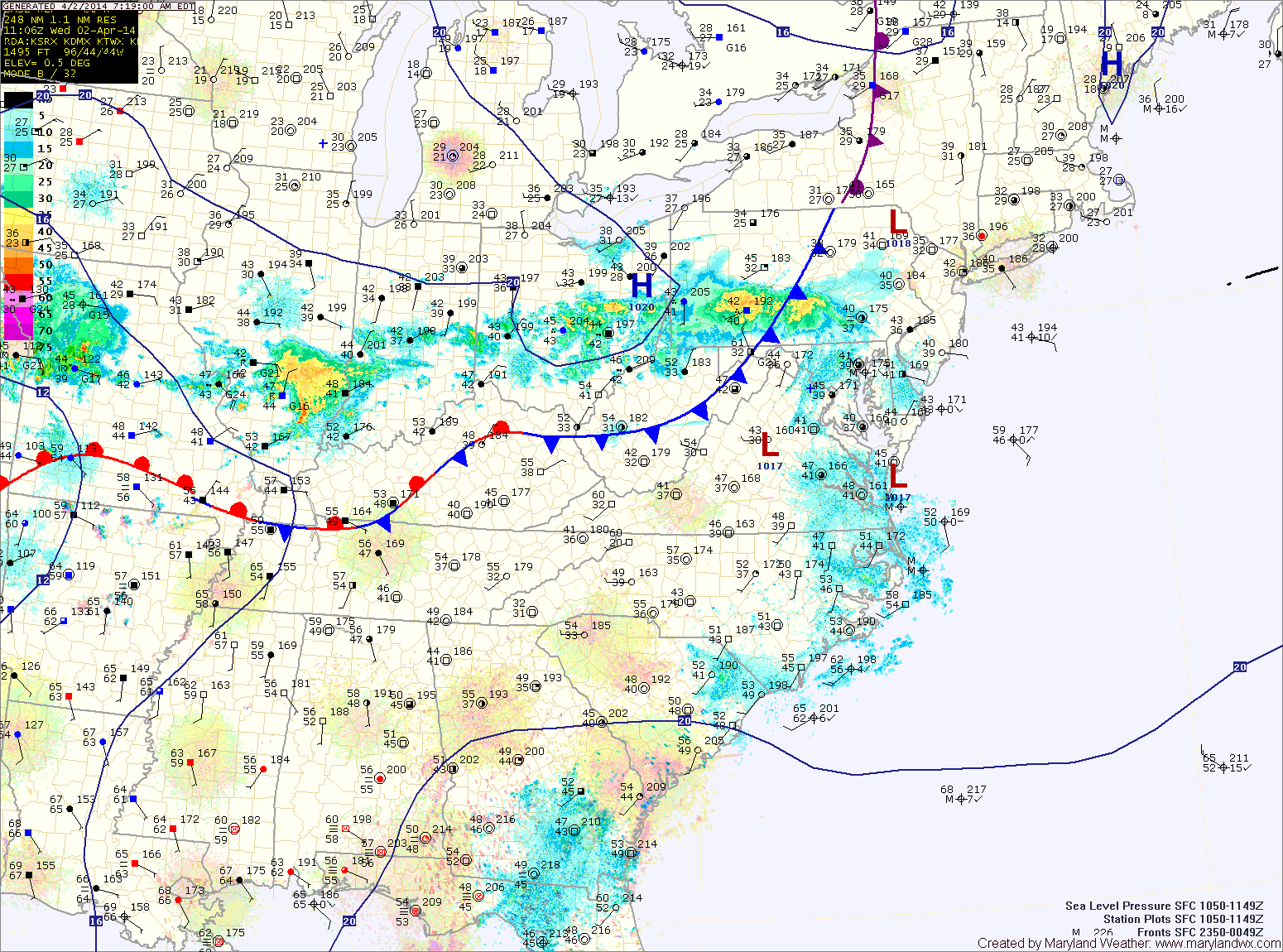
Today will be cloudy with perhaps a few breaks of sun this afternoon. The showers moving through Pennsylvania should remain north of the state but an isolated shower along the far northern counties can’t be ruled out. Highs today will be in the low to mid 60s.
Isolated showers will move through tonight and tomorrow. Highs tomorrow will be in the upper 50s to around 60.
The rain will increase in intensity and coverage tomorrow evening and tomorrow night.
Another area of low pressure will move into the Great Lakes and drive another cold front into the area Friday. This front will bring another round of scattered showers during the day Friday, into Friday night. Highs on Friday will be around 60.
The front will clear the area by Saturday morning, bringing an end to the rain and allowing skies to clear. Highs will be in the low 60s.
Sunday will be partly sunny with highs in the mid 50s.
Another system looks to affect the area late Monday and Tuesday bringing another round of rainfall to the area.
Yesterday’s Weather Station Stats:
High Temp: 62.5°
Low Temp: 35.4°
Rain: 0.00″