
Expect partly sunny skies and highs in the mid to upper 40s.
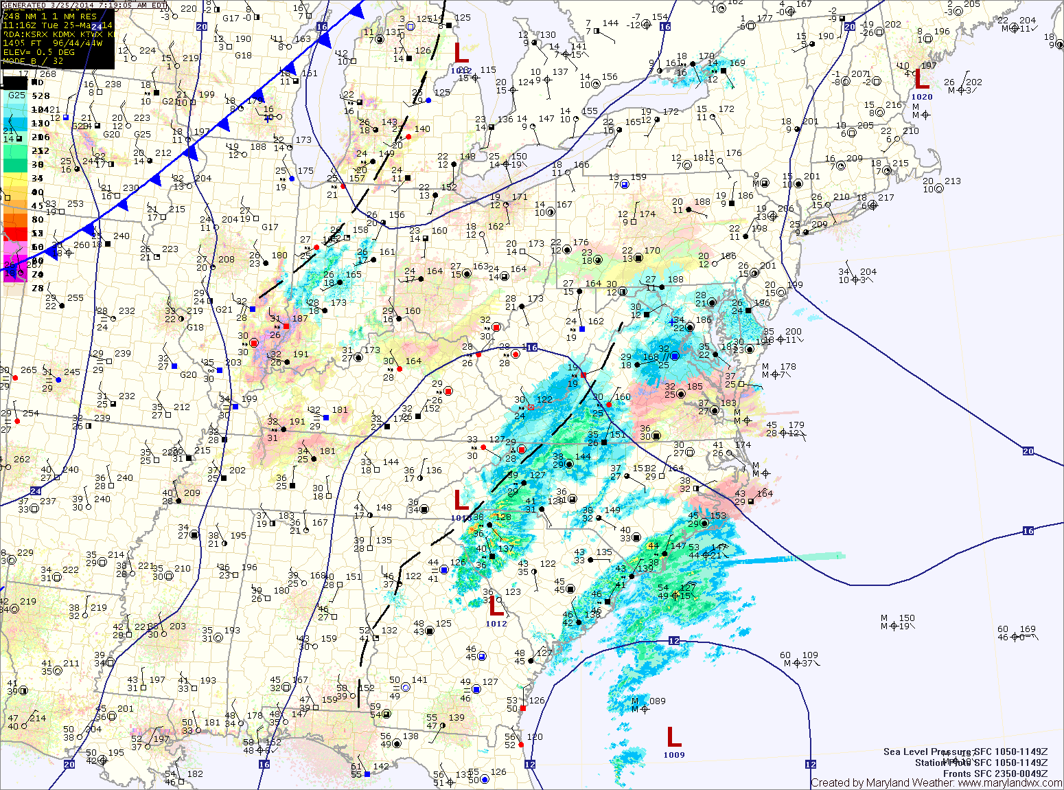
A cold front will approach tonight and tomorrow. Expect scattered showers to increase in coverage during the morning and through the day.
It will be warmer and breezy, with highs in the upper 50s to low 60s.
The front will push through tomorrow evening, bringing a brief end to the rainfall.
Another system will move in from the southwest during the day on Saturday. Expect another round of showers that may last into Sunday morning before tapering off. Highs on Saturday will be in the mid 50s and highs on Sunday will reach the low to mid 50s before falling during the late afternoon as winds increase behind the system.
The beginning half of next week looks pleasant and seasonal. Highs Monday and Tuesday will be in the low 60s under mostly sunny skies.
Yesterday’s Weather Station Stats:
High Temp: 37.5°
Low Temp: 26.6°
Rain: 0.09″ (snow melt)