
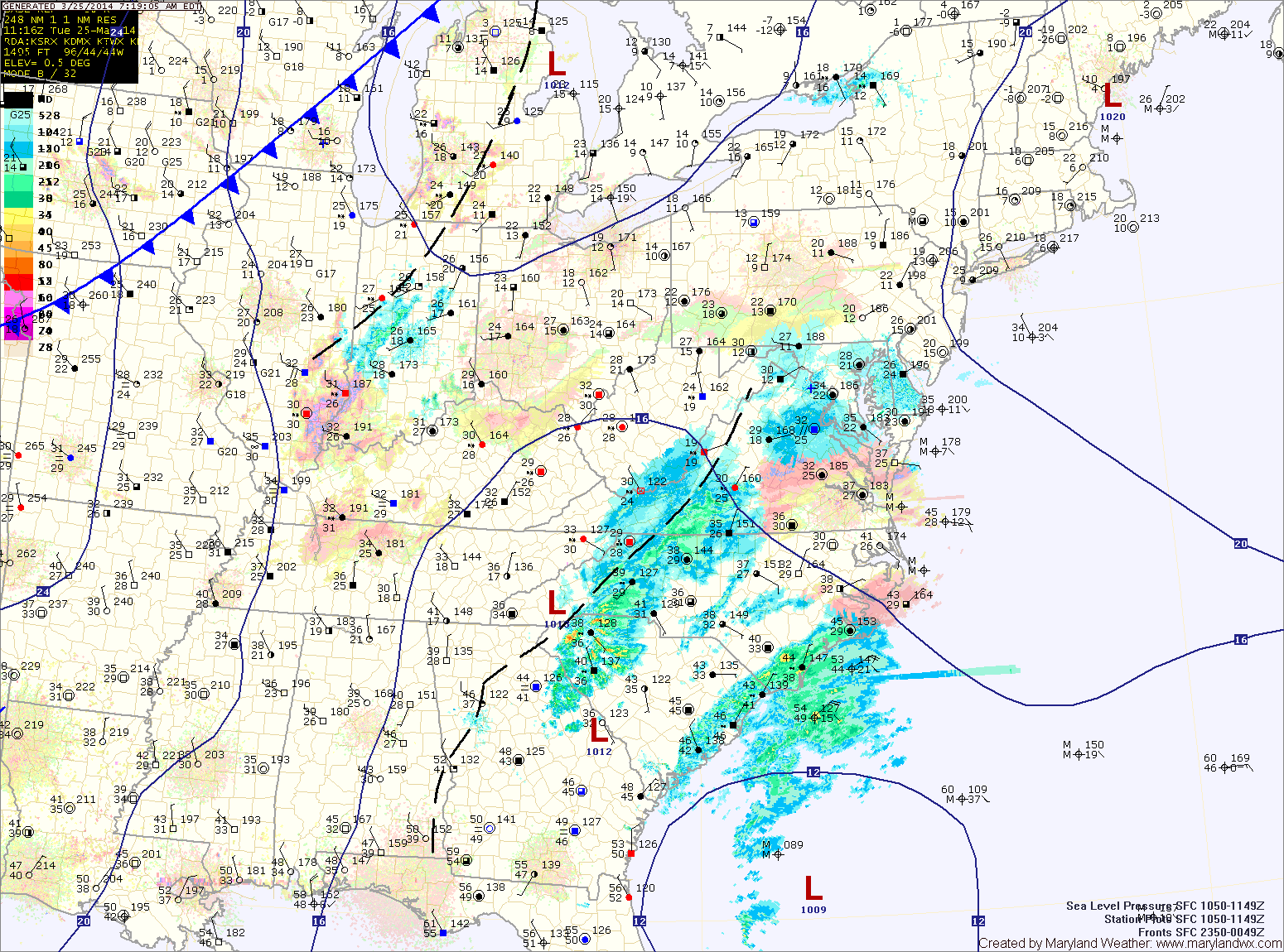
An area of low pressure developing off the southeast coast will continue to move northward while rapidly intensifying. Light snow has started to move into the area this morning and will continue this afternoon and into the evening.
The snow may be moderate at times, but accumulations will be minimal due to the late March sun angle and relatively warm surface. Expect an inch or two to accumulate, mainly on grassy surfaces. Highs today will reach the mid 30s.
As the storm rapidly develops to our east while moving away, expect winds to increase tonight and tomorrow. Skies will clear tomorrow morning and temperatures will rise to around 40 but wind gusts to 35mph will make it feel much colder.
Thursday will see increasing clouds but warmer temperatures. Highs will be in the upper 40s to around 50.
As a front approaches on Friday, southerly flow will intensify leading to even warmer temps but also shower chances. Showers are likely Friday afternoon and into Friday night. Highs will be in the mid 60s.
The weekend currently looks pleasant, with mostly sunny skies and temperatures in the upper 50s to around 60.
Yesterday’s Weather Station Stats:
High Temp: 40.7°
Low Temp: 23.4°
Rain: 0.00″