
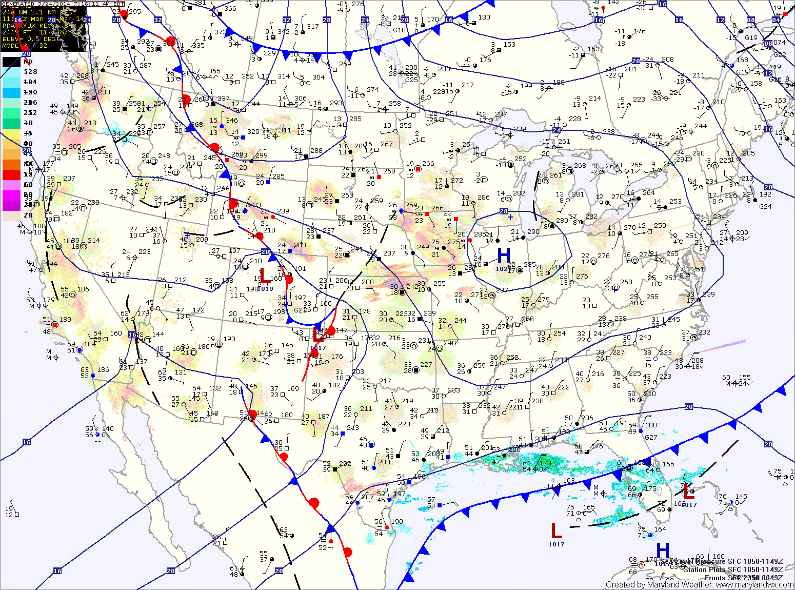
The high pressure will be replaced tomorrow as two pieces of energy phase off the Carolina coast and rapidly develop into a strong coastal storm. The storm will develop off the coast and will not impact the area.
However, as the two pieces of energy come together over our area, light precipitation is expected. It should be cold enough for mostly snow, but rain may mix in, especially along and east of I-95.
Any snow that falls will have an extremely tough time accumulating. Expect a coating to possibly a slushy inch, mainly on elevated surfaces and grassy areas. Highs tomorrow will be in the mid 30s.
The snow may linger into tomorrow evening as northwest winds increase though the night.
Wednesday will be sunny but windy and cold. Highs will be around 40 with northwest winds gusting to near 35mph.
Thursday will be about 10 degrees warmer than Wednesday and winds will diminish. Expect mostly sunny skies and highs around 50.
A cold front will approach on Friday but the warming trend will continue. Highs will be in the mid 60s with a slight chance of showers.
Yesterday’s Weather Station Stats:
High Temp: 51.3°
Low Temp: 34.9°
Rain: 0.00″