
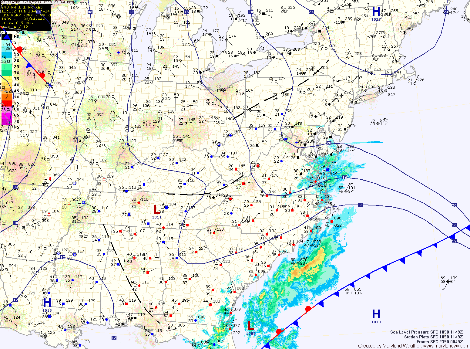
Today will be generally cloudy as low pressure to our south and high pressure to our north combine to form easterly flow off of the ocean, resulting in clouds and perhaps some freezing drizzle across southern Maryland this morning. Highs today will be around 40.
Clouds and periods of drizzle will continue tonight, with the drizzle becoming a bit more widespread. Freezing drizzle is possible once again late tonight or early tomorrow morning as temperatures drop to near freezing.
The drizzle should end tomorrow morning but clouds will remain as a cold front approaches from the west. Expect isolated showers as the front moves through during the afternoon. Highs will be in the mid to upper 40s.
Thursday and Friday look to be sunny and warmer. Highs on Thursday will be in the mid 50s with upper 50s likely on Friday.
A stronger front will approach Friday night and spread scattered showers and possibly a thunderstorm into the area Saturday as it crosses the region. Highs will be in the low 60s on Saturday but will fall off on Sunday, topping out around 50.
Temperatures trend downward again as we go into next week. Highs on Monday will be in the low to mid 40s.
Yesterday’s Weather Station Stats:
High Temp: 30.7°
Low Temp: 24.1°
Rain: 0.04″ (snow melt)