
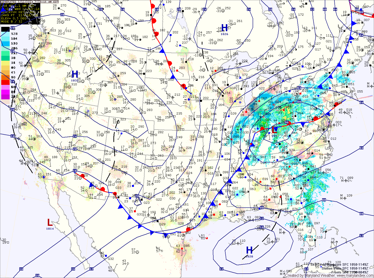
An area of low pressure and a strong cold front will move into and through the area today and tonight. Ahead of the system, strong southerly flow will push temperatures into the upper 60s to around 70 this afternoon.
Expect showers to develop later this morning into this afternoon. As the front moves closer this afternoon and evening, thunderstorms will be possible. There is a slight risk that these storms may be severe with strong, damaging winds as the primary threat. Stay alert for possible watches and warnings this afternoon and evening.
The front will clear the area late tonight, bringing in much colder air and strong gusty winds. Winds could gust to near 50mph tonight and tomorrow morning.
Tomorrow will be much colder, with highs only reaching the low 30s under mostly sunny skies.
Friday will be sunny and warmer as high pressure builds in. Highs will be in the low 50s.
A weak cold front will move through late Friday night into Saturday morning, bringing a very slight chance of a shower as it does. The front will quickly move through and skies will clear through the day. Highs will be around 60.
Sunday will be partly sunny with highs in the low to mid 50s.
A system will approach from the south Sunday night into Monday, but at this time it appears it will slide off the coast and not affect the area.
Yesterday’s Weather Station Stats:
High Temp: 69.8°
Low Temp: 44.3°
Rain: 0.00″